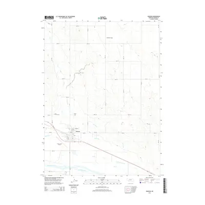
2014 Map of Oshkosh
USGS Topo · Published 2014About this map
Oshkosh serves as the focal point of this Garden County landscape, situated just north of the wide North Platte River valley. The map reveals an intricate network of irrigation infrastructure essential to High Plains agriculture, including the Midland Overland Canal, the Oshkosh Canal, and the N River Canal. These man-made waterways segment the terrain, while natural drainage is managed by the winding path of Lost Cr and the waters of Dorman Reservoir.
Find a feature on this map
34 named features on this map. Tap any name to fly to it.
Don’t see what you’re looking for? This feature index may not catch every label — zoom into the map to look around manually.
Map Details
Editions of this 2014 Oshkosh Map
This is the sole edition of this map. No revisions or reprints were ever made.
Other maps of this area
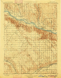
1900 · Chappell
USGS Topo · 1:125,000
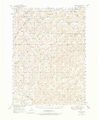
1949 · Rackett
USGS Topo · 1:62,500
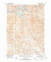
1950 · Crescent Lake
USGS Topo · 1:62,500
1951 · Rackett
USGS Topo · 1:62,500
1954 · Scottsbluff
USGS Topo · 1:250,000
1958 · Scottsbluff
USGS Topo · 1:250,000
1971 · Twin Buttes
USGS Topo · 1:24,000
1971 · Barn Butte
USGS Topo · 1:24,000
1971 · Oshkosh SW
USGS Topo · 1:24,000
1971 · Coumbe Bluff
USGS Topo · 1:24,000