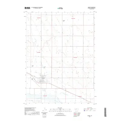
2017 Map of Oshkosh
USGS Topo · Published 2017About this map
The North Platte River defines the southern edge of this western Nebraska landscape, serving as the anchor for an extensive network of human-made waterways. The town of Oshkosh sits at the center of this hydraulic system, where the Oshkosh Canal, N River Canal, and the Midland Overland Canal illustrate the intensive irrigation efforts required to support agriculture in Garden County. North of the river valley, the terrain transitions into the draws of Antelope Valley and the winding course of Lost Cr. For those tracing local heritage, the map identifies Saint Elizabeths Cem and the Oshkosh Cem located just outside the main settlement. The presence of the Garden County Airport west of the town center highlights the area's modern infrastructure within a rural setting defined by a systematic grid of county roads, including RD 60 and RD 54.
Find a feature on this map
27 named features on this map. Tap any name to fly to it.
Don’t see what you’re looking for? This feature index may not catch every label — zoom into the map to look around manually.
Map Details
Editions of this 2017 Oshkosh Map
This is the sole edition of this map. No revisions or reprints were ever made.
Other maps of this area
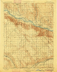
1900 · Chappell
USGS Topo · 1:125,000
1949 · Rackett
USGS Topo · 1:62,500
1950 · Crescent Lake
USGS Topo · 1:62,500
1951 · Rackett
USGS Topo · 1:62,500
1954 · Scottsbluff
USGS Topo · 1:250,000
1958 · Scottsbluff
USGS Topo · 1:250,000
1971 · Twin Buttes
USGS Topo · 1:24,000
1971 · Barn Butte
USGS Topo · 1:24,000
1971 · Oshkosh SW
USGS Topo · 1:24,000
1971 · Coumbe Bluff
USGS Topo · 1:24,000