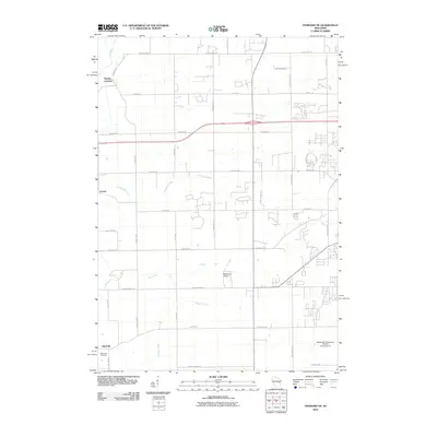
2010 Map of Oshkosh NE
USGS Topo · Published 2010About this map
The settlement of Allenville and its associated Allenville Cemetery anchor the southern portion of this landscape, which transitions from agricultural fields to the growing residential outskirts of Neenah. Small aviation facilities like Brennand Airport and the Wilmer M Zimmerman Civil Air Patrol Airport indicate the modern utilitarian character of the region. Local hydrology is defined by the Rat River in the northwest, which flows toward Medina Junction, and the winding course of the Arrowhead River near Larsen. The topography remains relatively level, crisscrossed by a grid of county highways and local roads such as Winnegamie Dr and Vinland Center Rd that support both rural homesteads and newer housing developments. Tracing the path of Daggets Creek reveals the natural drainage patterns that have historically shaped land use in this part of Winnebago County.
Find a feature on this map
40 named features on this map. Tap any name to fly to it.
Don’t see what you’re looking for? This feature index may not catch every label — zoom into the map to look around manually.
Map Details
Editions of this 2010 Oshkosh NE Map
This is the sole edition of this map. No revisions or reprints were ever made.
Other maps of this area

1911 · Neenah
USGS Topo · 1:62,500

1955 · Neenah
USGS Topo · 1:62,500

1955 · Appleton
USGS Topo · 1:24,000

1955 · Appleton
USGS Topo · 1:62,500

1955 · Neenah
USGS Topo · 1:24,000

1955 · Green Bay
USGS Topo · 1:250,000

1956 · New London
USGS Topo · 1:48,000

1961 · Oshkosh
USGS Topo · 1:24,000

1961 · Oshkosh
USGS Topo · 1:62,500

1961 · Oshkosh NE
USGS Topo · 1:24,000