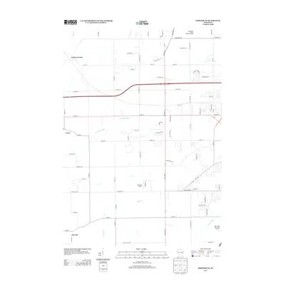
2013 Map of Oshkosh NE
USGS Topo · Published 2013About this map
Medina Junction and the surrounding agricultural landscape of Winnebago County are detailed in this 2013 geographic study. The map documents a transition from traditional rural settlements like Larsen and Allenville toward more modern aviation and residential development. Waterways, including the Rat River, Arrowhead River, and Daggets Cr, define the drainage patterns of the area, while the presence of the Outagamie County Regional Airport, Brennand Airport, and the uniquely named With Wings and a Halo Airport highlights the region's importance for local and regional flight.
Find a feature on this map
72 named features on this map. Tap any name to fly to it.
Don’t see what you’re looking for? This feature index may not catch every label — zoom into the map to look around manually.
Map Details
Editions of this 2013 Oshkosh NE Map
This is the sole edition of this map. No revisions or reprints were ever made.
Other maps of this area

1911 · Neenah
USGS Topo · 1:62,500

1955 · Neenah
USGS Topo · 1:62,500

1955 · Appleton
USGS Topo · 1:24,000

1955 · Appleton
USGS Topo · 1:62,500

1955 · Neenah
USGS Topo · 1:24,000

1955 · Green Bay
USGS Topo · 1:250,000

1956 · New London
USGS Topo · 1:48,000

1961 · Oshkosh
USGS Topo · 1:24,000

1961 · Oshkosh
USGS Topo · 1:62,500

1961 · Oshkosh NE
USGS Topo · 1:24,000