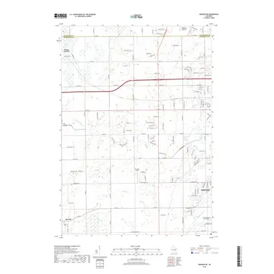
2018 Map of Oshkosh NE
USGS Topo · Published 2018About this map
The northwest reaches of Neenah and the agricultural transition toward the Outagamie Co line characterize this recent look at Winnebago County. The map documents the persistent layout of historic crossroads like Allenville and Larsen, providing valuable spatial context for local genealogists researching the Allenville Cemetery or the surrounding family farms. The landscape is defined by the marshy drainage of the Rat River and Arrowhead River, while the presence of Appleton International Airport in the northeast corner and Brennand Airport near the center indicates the area's modern infrastructure. From the suburban expansion near the Neenah Slough to the rail-influenced history of Medina Junction, this survey charts the intersection of rural heritage and Fox Valley development.
Find a feature on this map
114 named features on this map. Tap any name to fly to it.
Don’t see what you’re looking for? This feature index may not catch every label — zoom into the map to look around manually.
Map Details
Editions of this 2018 Oshkosh NE Map
This is the sole edition of this map. No revisions or reprints were ever made.
Other maps of this area

1911 · Neenah
USGS Topo · 1:62,500

1955 · Neenah
USGS Topo · 1:62,500

1955 · Appleton
USGS Topo · 1:24,000

1955 · Appleton
USGS Topo · 1:62,500

1955 · Neenah
USGS Topo · 1:24,000

1955 · Green Bay
USGS Topo · 1:250,000

1956 · New London
USGS Topo · 1:48,000

1961 · Oshkosh
USGS Topo · 1:24,000

1961 · Oshkosh
USGS Topo · 1:62,500

1961 · Oshkosh NE
USGS Topo · 1:24,000