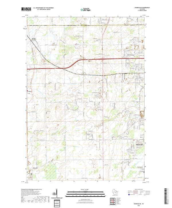
2022 Map of Oshkosh NE
USGS Topo · Published 2022About this map
Neenah and its northern outskirts anchor this Winnebago County landscape, where the urban edge meets the wetland networks of eastern Wisconsin. The area is defined by the winding course of the Arrowhead River and the marshes surrounding the Rat River, which dominate the northwestern corner near Medina Junction. The map captures a mix of established rural settlements and modern aviation infrastructure, including the Brennand Airport and the uniquely named With Wings and a Halo Airport further south near the Neenah Slough. Genealogy and local history are preserved at the Allenville Cem near Allenville and the Clayton Cem centrally located within the township. This modern survey reflects the continued balance between agricultural lands, suburban expansion in Fox Crossing, and the preservation of natural waterways that have shaped the region's character for generations.
Find a feature on this map
131 named features on this map. Tap any name to fly to it.
Don’t see what you’re looking for? This feature index may not catch every label — zoom into the map to look around manually.
Map Details
Editions of this 2022 Oshkosh NE Map
This is the sole edition of this map. No revisions or reprints were ever made.
Other maps of this area

1911 · Neenah
USGS Topo · 1:62,500

1955 · Neenah
USGS Topo · 1:62,500

1955 · Appleton
USGS Topo · 1:24,000

1955 · Appleton
USGS Topo · 1:62,500

1955 · Neenah
USGS Topo · 1:24,000

1955 · Green Bay
USGS Topo · 1:250,000

1956 · New London
USGS Topo · 1:48,000

1961 · Oshkosh
USGS Topo · 1:24,000

1961 · Oshkosh
USGS Topo · 1:62,500

1961 · Oshkosh NE
USGS Topo · 1:24,000