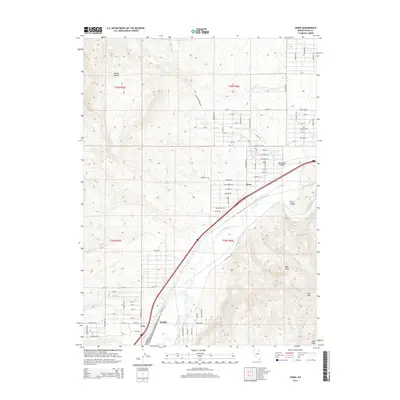
2014 Map of Osino
USGS Topo · Published 2014About this map
The Humboldt River corridor defines the geography of this northeastern Nevada landscape, where the valley floor transitions into the high peaks of the Adobe Range and Elko Mtn. The settlement of Osino sits at the junction of rail and road infrastructure, while the northeastern edge of Elko begins to take shape near the Coin siding. The map detail illustrates the intersection of modern residential street grids, such as Mesa Verde Dr and Indian Hills Dr, against a backdrop of traditional ranching and mining terrain.
Find a feature on this map
57 named features on this map. Tap any name to fly to it.
Don’t see what you’re looking for? This feature index may not catch every label — zoom into the map to look around manually.
Map Details
Editions of this 2014 Osino Map
This is the sole edition of this map. No revisions or reprints were ever made.
Other maps of this area

1955 · Wells
USGS Topo · 1:250,000

1955 · Elko
USGS Topo · 1:250,000

1957 · Elko West
USGS Topo · 1:24,000

1957 · Elko East
USGS Topo · 1:24,000

1958 · Wells
USGS Topo · 1:250,000

1958 · Elko
USGS Topo · 1:250,000

1961 · Wells
USGS Topo · 1:250,000

1962 · Elko
USGS Topo · 1:250,000

1962 · Kittridge Springs
USGS Topo · 1:24,000

1962 · Boyd Reservoir
USGS Topo · 1:24,000