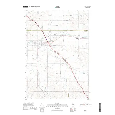
2018 Map of Osseo
USGS Topo · Published 2018About this map
Osseo sits at the convergence of three major branches of the Buffalo River, serving as a primary settlement point where the N Fork Buffalo River and S Fork Buffalo River meet. The landscape is defined by a series of distinct drainages, including Scott Valley, Golden Valley, and Kings Valley, which give way to the larger river system. Recreation and conservation are evident through the Buffalo River State Trail and local water bodies like Martha Lake and the Osseo Club Pond. South of the main town center, the South Valley Cem provides a point of genealogical interest near the junction of rural routes. The area’s geography is further structured by the tri-county intersection of Eau Claire, Jackson, and Trempealeau counties, centering on the small community of Requa and various family-named roads like Alvestad Rd and Hogstad Rd.
Find a feature on this map
98 named features on this map. Tap any name to fly to it.
Don’t see what you’re looking for? This feature index may not catch every label — zoom into the map to look around manually.
Map Details
Editions of this 2018 Osseo Map
This is the sole edition of this map. No revisions or reprints were ever made.
Other maps of this area

1926 · Whitehall
USGS Topo · 1:62,500

1927 · Blair
USGS Topo · 1:62,500

1927 · Strum
USGS Topo · 1:62,500

1929 · Whitehall
USGS Topo · 1:62,500

1930 · Strum
USGS Topo · 1:62,500

1935 · Osseo
USGS Topo · 1:48,000

1940 · Osseo
USGS Topo · 1:62,500

1953 · Eau Claire
USGS Topo · 1:250,000

1958 · Eau Claire
USGS Topo · 1:250,000

1964 · Eau Claire
USGS Topo · 1:250,000