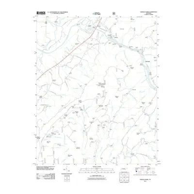
2011 Map of Oswald Dome
USGS Topo · Published 2011About this map
The Hiwassee River winds through this mountain landscape, carved by prominent ridges such as Starr Mountain and Chilhowee Mountain. The area is marked by a clear pattern of small, family-named settlements and landmarks, including Old Patty, Austral, and Hambright. These communities are often clustered near gaps and hollows, such as Hiwassee Gap and Ernie King Hollow. Historically significant crossings and markers, like Savannah Ford and the DeSoto Monument, reflect the long-standing human presence along the river corridor.
Find a feature on this map
120 named features on this map. Tap any name to fly to it.
Don’t see what you’re looking for? This feature index may not catch every label — zoom into the map to look around manually.
Map Details
Editions of this 2011 Oswald Dome Map
This is the sole edition of this map. No revisions or reprints were ever made.
Other maps of this area

1886 · Cleveland
USGS Topo · 1:125,000

1892 · Cleveland
USGS Topo · 1:125,000

1893 · Murphy
USGS Topo · 1:125,000

1895 · Cleveland
USGS Topo · 1:125,000

1901 · Cleveland
USGS Topo · 1:125,000

1914 · Murphy
USGS Topo · 1:125,000

1934 · Mecca
USGS Topo · 1:24,000

1935 · Tellico
USGS Topo · 1:48,000

1935 · Calhoun
USGS Topo · 1:24,000

1935 · Benton
USGS Topo · 1:24,000