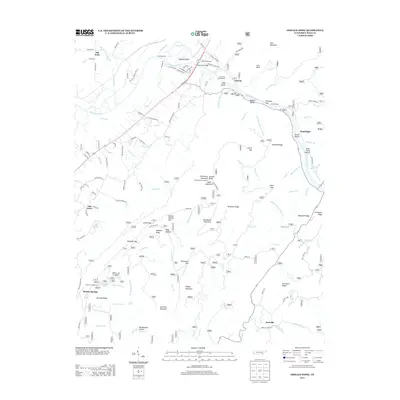
2013 Map of Oswald Dome
USGS Topo · Published 2013About this map
Benton Springs and the surrounding ridgelines of the Cherokee National Forest define this landscape along the Hiwassee River. The area is marked by significant elevation changes, from the riverbanks at Broad Shoals to the high point of Oswald Dome, where the Oswald Dome Lookout once surveyed the horizon. Near the river, the DeSoto Monument and the historic crossing at Savannah Ford suggest a long history of travel through the Hiwassee Gap. Settlement patterns are concentrated in pockets like Old Patty, Austral, and Archville, often situated near water sources such as Conasauga Cr or Gee Cr. The map details a complex network of forest roads and trails, including the Gee Creek Campground and numerous loops near McCamy Lake, reflecting the transition from an early settlement and river economy to a landscape focused on conservation and recreation.
Find a feature on this map
142 named features on this map. Tap any name to fly to it.
Don’t see what you’re looking for? This feature index may not catch every label — zoom into the map to look around manually.
Map Details
Editions of this 2013 Oswald Dome Map
This is the sole edition of this map. No revisions or reprints were ever made.
Other maps of this area

1886 · Cleveland
USGS Topo · 1:125,000

1892 · Cleveland
USGS Topo · 1:125,000

1893 · Murphy
USGS Topo · 1:125,000

1895 · Cleveland
USGS Topo · 1:125,000

1901 · Cleveland
USGS Topo · 1:125,000

1914 · Murphy
USGS Topo · 1:125,000

1934 · Mecca
USGS Topo · 1:24,000

1935 · Tellico
USGS Topo · 1:48,000

1935 · Calhoun
USGS Topo · 1:24,000

1935 · Benton
USGS Topo · 1:24,000