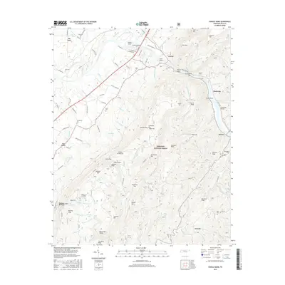
2016 Map of Oswald Dome
USGS Topo · Published 2016About this map
The Hiwassee River cuts a deep path through the Cherokee National Forest, defining the rugged geography of this portion of Polk County. Settlement patterns follow the river valley and the lower elevations, where small communities like Reliance and Austral are situated. The landscape is characterized by prominent peaks such as Oswald Dome and Presswood Mtn, separated by significant gaps and hollows like Mulepen Gap and Ernie King Hollow.
Find a feature on this map
130 named features on this map. Tap any name to fly to it.
Don’t see what you’re looking for? This feature index may not catch every label — zoom into the map to look around manually.
Map Details
Editions of this 2016 Oswald Dome Map
This is the sole edition of this map. No revisions or reprints were ever made.
Other maps of this area

1886 · Cleveland
USGS Topo · 1:125,000

1892 · Cleveland
USGS Topo · 1:125,000

1893 · Murphy
USGS Topo · 1:125,000

1895 · Cleveland
USGS Topo · 1:125,000

1901 · Cleveland
USGS Topo · 1:125,000

1914 · Murphy
USGS Topo · 1:125,000

1934 · Mecca
USGS Topo · 1:24,000

1935 · Tellico
USGS Topo · 1:48,000

1935 · Calhoun
USGS Topo · 1:24,000

1935 · Benton
USGS Topo · 1:24,000