2019 Map of Oswald Dome
USGS Topo · Published 2019About this map
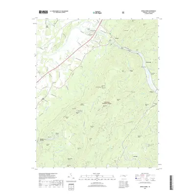
Oswald Dome and the surrounding heights of the Cherokee National Forest dominate this section of Polk County, where the Hiwassee River cuts a deep valley through the southern Appalachian landscape. Small settlements like Old Patty, Austral, and Reliance are situated along the riverbanks or tucked into the narrow gaps between ridges. The terrain is defined by dramatic elevation changes, moving from the river flats near Jenkins Island and Long Island up to the high points of Chilhowee Mtn / Bean Mtn and Presswood Mtn. Numerous family-named cemeteries, including Nicholson Cem, Dunn Cem, and Brock Cem, are scattered across the hillsides, often situated near historic road traces like Columbus Rd or Moss Rd. The distribution of these burial grounds and local congregations, such as Antioch Ch, provides a clear view of the rural settlement patterns that have persisted in these mountain gaps for generations.
Find a feature on this map
125 named features on this map. Tap any name to fly to it.
Don’t see what you’re looking for? This feature index may not catch every label — zoom into the map to look around manually.
Map Details
Editions of this 2019 Oswald Dome Map
This is the sole edition of this map. No revisions or reprints were ever made.
Other maps of this area

1886 · Cleveland
USGS Topo · 1:125,000

1892 · Cleveland
USGS Topo · 1:125,000

1893 · Murphy
USGS Topo · 1:125,000

1895 · Cleveland
USGS Topo · 1:125,000

1901 · Cleveland
USGS Topo · 1:125,000

1914 · Murphy
USGS Topo · 1:125,000

1934 · Mecca
USGS Topo · 1:24,000

1935 · Tellico
USGS Topo · 1:48,000

1935 · Calhoun
USGS Topo · 1:24,000

1935 · Benton
USGS Topo · 1:24,000