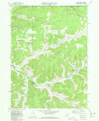
1969 Map of Oswayo
USGS Topo · Published 1981About this map
The Oswayo Oil and Gas Field dominates the upland geography of this northern Pennsylvania borderland, marked by a dense network of gas wells and pipelines cutting through the timbered slopes. Along the valley floor, the Oswayo Railroad follows the winding path of Oswayo Creek, connecting small industrial and agricultural hubs like Millport, Coneville, and the borough of Oswayo. This transport corridor was essential for moving local resources, including timber and petroleum, out of the steep hollows that define the Potter County landscape.
Find a feature on this map
53 named features on this map. Tap any name to fly to it.
Don’t see what you’re looking for? This feature index may not catch every label — zoom into the map to look around manually.
Map Details
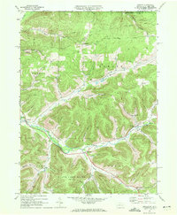
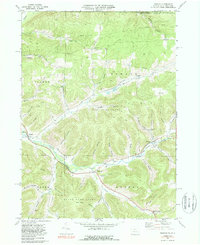
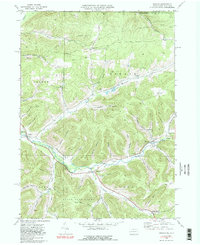
Editions of this 1969 Oswayo Map
4 editions found
Other maps of this area

1925 · Belmont
USGS Topo · 1:62,500

1926 · Wellsville
USGS Topo · 1:62,500

1932 · Genesee
USGS Topo · 1:62,500

1934 · Coudersport
USGS Topo · 1:48,000

1937 · Genesee
USGS Topo · 1:62,500

1938 · Coudersport
USGS Topo · 1:62,500

1939 · Belmont
USGS Topo · 1:62,500

1950 · Elmira
USGS Topo · 1:250,000

1954 · Williamsport
USGS Topo · 1:250,000

1957 · Warren
USGS Topo · 1:250,000