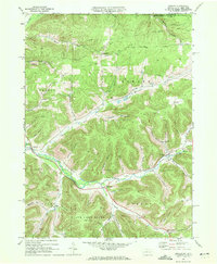
1969 Map of Oswayo
USGS Topo · Published 1972About this map
Oswayo and the surrounding Potter County landscape are defined by a network of deep hollows and the energy industry during the late 1960s. The map illustrates a region transitioning from its rail-dependent past to an economy centered on the Oswayo Oil and Gas Field, with numerous gas wells and pipelines spidering across the timbered terrain. The former path of the railroad is visible as the Oswayo Creek Grade, following the water through Millport and Coneville. Local social and civic life is anchored by features like the County Fairgrounds near Millport and the Rathbone Cem. To the south, the preservation of the landscape is noted by the expanse of State Game Lands No 204, while small settlements such as Kibbeville and Chrystal remain tucked into the narrow valleys carved by Elevenmile Creek and its tributaries.
Find a feature on this map
61 named features on this map. Tap any name to fly to it.
Don’t see what you’re looking for? This feature index may not catch every label — zoom into the map to look around manually.
Map Details
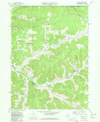
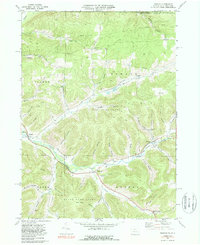
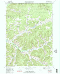
Editions of this 1969 Oswayo Map
4 editions found
Other maps of this area

1925 · Belmont
USGS Topo · 1:62,500

1926 · Wellsville
USGS Topo · 1:62,500

1932 · Genesee
USGS Topo · 1:62,500

1934 · Coudersport
USGS Topo · 1:48,000

1937 · Genesee
USGS Topo · 1:62,500

1938 · Coudersport
USGS Topo · 1:62,500

1939 · Belmont
USGS Topo · 1:62,500

1950 · Elmira
USGS Topo · 1:250,000

1954 · Williamsport
USGS Topo · 1:250,000

1957 · Warren
USGS Topo · 1:250,000