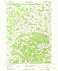
1957 Map of Harrison Valley
USGS Topo · Published 1971About this map
Harrison Valley and the neighboring settlements of Mills and Whites Corners anchor this landscape along the upper reaches of the Cowanesque River. The map captures a period of transition in Potter County as industrial infrastructure began to overlay traditional farming and timber lands, evidenced by the Old R.R. Grade following the river valley and the presence of a Pumping Station and Sub Sta near the town centers. Education and local governance are marked by the Northern Potter Sch and the distinct Ulysses Boro Bdy. High points like Mc Cutchin Hill and Simonds Hill rise above a series of named drainages, including Little Widger Hollow and Button Hollow, which define the rugged topography of the Hector and Harrison townships. This 1969 photorevised edition specifically details fence line changes and field updates, providing a clear record of land use at the close of the decade.
Find a feature on this map
40 named features on this map. Tap any name to fly to it.
Don’t see what you’re looking for? This feature index may not catch every label — zoom into the map to look around manually.
Map Details
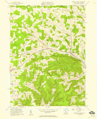
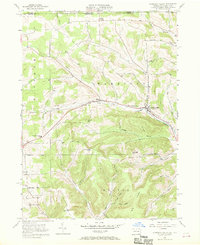
Editions of this 1957 Harrison Valley Map
Other maps of this area

1899 · Gaines
USGS Topo · 1:62,500

1900 · Gaines
USGS Topo · 1:62,500

1926 · Wellsville
USGS Topo · 1:62,500

1926 · Greenwood
USGS Topo · 1:62,500

1932 · Genesee
USGS Topo · 1:62,500

1937 · Genesee
USGS Topo · 1:62,500

1950 · Elmira
USGS Topo · 1:250,000

1954 · Williamsport
USGS Topo · 1:250,000

1954 · Troupsburg
USGS Topo · 1:24,000
1957 · Potter Brook
USGS Topo · 1:24,000