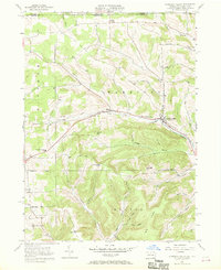
1957 Map of Harrison Valley
USGS Topo · Published 1968About this map
Harrison Valley and Mills serve as the primary hubs in this mid-century portrait of northern Potter County, situated just below the New York state line. The Cowanesque River and its various tributaries, including the North Branch Cowanesque River and Marsh Creek, dictate the movement of the local economy and infrastructure. An Old RR Grade follows the river valley, tracing the path of former rail transport that once connected these rural townships.
Find a feature on this map
44 named features on this map. Tap any name to fly to it.
Don’t see what you’re looking for? This feature index may not catch every label — zoom into the map to look around manually.
Map Details
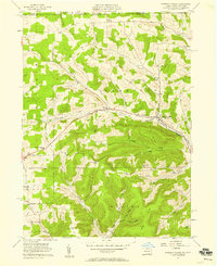
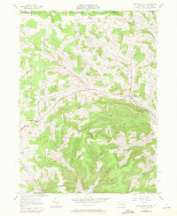
Editions of this 1957 Harrison Valley Map
Other maps of this area

1899 · Gaines
USGS Topo · 1:62,500

1900 · Gaines
USGS Topo · 1:62,500

1926 · Wellsville
USGS Topo · 1:62,500

1926 · Greenwood
USGS Topo · 1:62,500

1932 · Genesee
USGS Topo · 1:62,500

1937 · Genesee
USGS Topo · 1:62,500

1950 · Elmira
USGS Topo · 1:250,000

1954 · Williamsport
USGS Topo · 1:250,000

1954 · Troupsburg
USGS Topo · 1:24,000
1957 · Potter Brook
USGS Topo · 1:24,000