
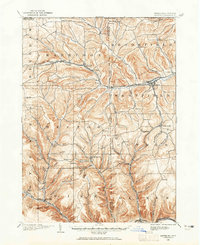
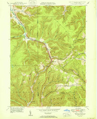
1949 Map of Short Run
USGS Topo · Published 1949About this map
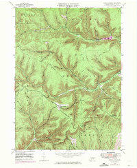
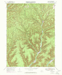
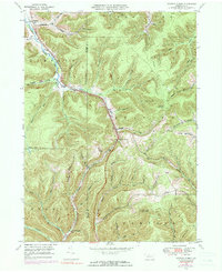
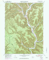
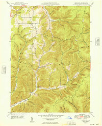
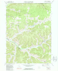
Deep ravines and narrow ridges define this 1940s landscape in Potter County, where the settlement at Short Run sits at the junction of several mountain drainages. The map records a complex network of upland tracks and paths, including the Splash Dam Trail and Twin Sisters Trail, which navigate the steep terrain between S Fork Sinnemahoning and Kettle Creek. The density of named hollows, such as Knickerbocker Hol and Black Mark Hollow, reflects an era when these secondary drainages were critical for local navigation and small-scale resource extraction. Surveyed shortly after World War II, the map highlights topographical landmarks like Elk Lick Knob and Keeney Mtn, illustrating the transition from traditional woodcraft trails to the established forest roads of the mid-twentieth century.
Find a feature on this map
73 named features on this map. Tap any name to fly to it.
Don’t see what you’re looking for? This feature index may not catch every label — zoom into the map to look around manually.
Map Details
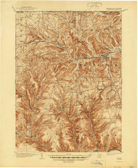
Editions of this 1949 Short Run Map
This is the sole edition of this map. No revisions or reprints were ever made.
Historical Maps of Abbott Township Through Time
45 maps found
1899 Gaines
Potter County, PA
1900 Gaines
Potter County, PA

1932 Genesee
Potter County, PA
1937 Genesee
Potter County, PA
1947 Ayers Hill
Potter County, PA
1947 Cherry Springs
Potter County, PA
1947 Conrad
Potter County, PA
1947 Conrad
Potter County, PA
1947 Oleona
Potter County, PA
1947 Short Run
Potter County, PA
1948 Keating Summit
Potter County, PA
1948 Wharton
Potter County, PA
1949 Ayers Hill
Potter County, PA

1949 Cherry Springs
Potter County, PA
1949 Short Run
Potter County, PA

1950 Conrad
Potter County, PA
1950 Keating Summit
Potter County, PA

1950 Oleona
Potter County, PA

1950 Wharton
Potter County, PA
1957 Harrison Valley
Potter County, PA
1969 Brookland
Potter County, PA
1969 Ellisburg
Potter County, PA
1969 Oswayo
Potter County, PA
1969 Roulette
Potter County, PA
1969 Ulysses
Potter County, PA
1969 West Pike
Potter County, PA

1971 Short Run
Potter County, PA

1994 Cherry Springs
Potter County, PA

1994 Conrad
Potter County, PA

1994 Wharton
Potter County, PA

1995 Oleona
Potter County, PA

2023 Ayers Hill
Potter County, PA

2023 Brookland
Potter County, PA

2023 Cherry Springs
Potter County, PA

2023 Conrad
Potter County, PA

2023 Ellisburg
Potter County, PA

2023 Harrison Valley
Potter County, PA
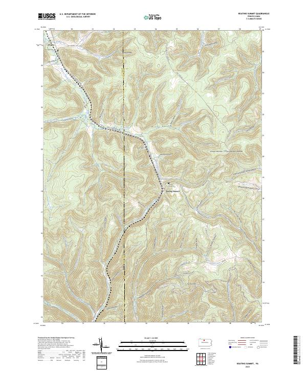
2023 Keating Summit
Potter County, PA
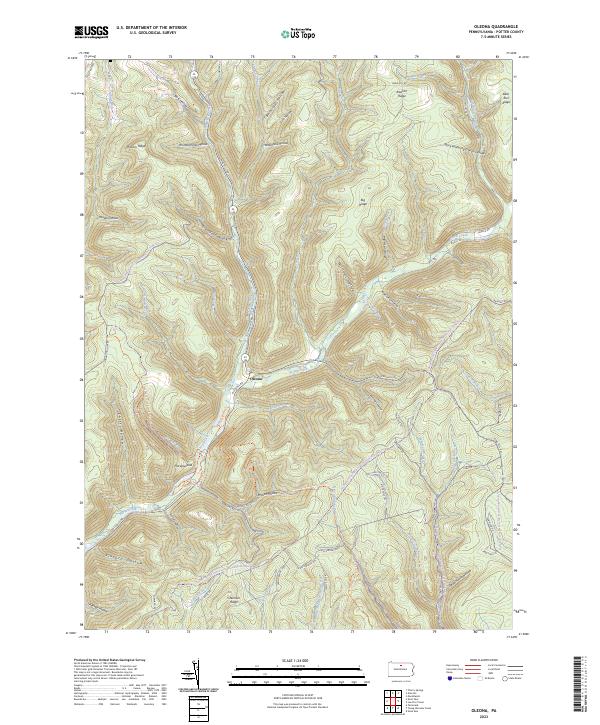
2023 Oleona
Potter County, PA
2023 Oswayo
Potter County, PA
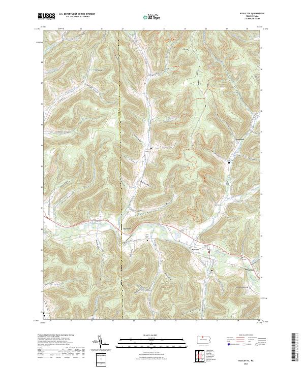
2023 Roulette
Potter County, PA

2023 Short Run
Potter County, PA

2023 Ulysses
Potter County, PA

2023 West Pike
Potter County, PA

2023 Wharton
Potter County, PA
Featured Locations
- Stewardson Township, PA
- Abbott Township, PA
- Summit Township, PA
- Wharton Township, PA
- Gravel Lick, Stewardson Township