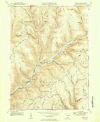
1950 Map of Oleona
USGS Topo · Published 1950About this map
Ole Bull State Park dominates the southern landscape of this 1950 Potter County survey, preserving the legacy of the failed 19th-century Norwegian colony. The map documents the Ole Bull Castle (Ruins) on a bluff overlooking the waters of Kettle Creek. This remote stretch of the Pennsylvania Wilds is defined by deeply incised hollows and high ridges, including Rawson Ridge and Hickory Ridge, which funneled travel into narrow creek valleys. The tiny settlement of Oleona sits at a strategic junction of water and road, while isolated landmarks like the Yochum Cem and numerous hunting or logging paths such as the Pike-Whitman Trail and Hartman Trail indicate the area's transition from a failed colonial experiment to a state-managed forest and recreation area. Local names like Yochum Run and Burnisky Hollow offer valuable clues for genealogists tracking family lineages in Abbott and Stewardson townships.
Find a feature on this map
63 named features on this map. Tap any name to fly to it.
Don’t see what you’re looking for? This feature index may not catch every label — zoom into the map to look around manually.
Map Details
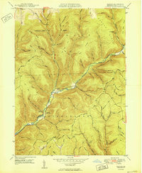
Editions of this 1950 Oleona Map
2 editions found
Other maps of this area

1943 · Hyner
USGS Topo · 1:62,500

1946 · Young Womans Creek
USGS Topo · 1:24,000

1946 · Renovo East
USGS Topo · 1:62,500

1946 · Renovo West
USGS Topo · 1:62,500

1946 · Tamarack
USGS Topo · 1:24,000

1946 · Slate Run
USGS Topo · 1:24,000

1947 · Conrad
USGS Topo · 1:62,500

1947 · Galeton
USGS Topo · 1:62,500

1947 · Lee Fire Tower
USGS Topo · 1:24,000

1947 · Short Run
USGS Topo · 1:24,000