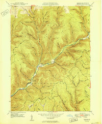
1950 Map of Oleona
USGS Topo · Published 1950About this map
Ole Bull Castle (Ruins) stands as a notable landmark within the forested highlands of Ole Bull State Park in this 1950 survey. The landscape is defined by the deep valley of Kettle Creek, which serves as the primary drainage for numerous steep hollows such as Rhinehimmer Hollow and Burnisky Hollow. The small settlement of Oleona sits at the junction of the creek and several mountain roads, marking a focal point for the region's sparse population.
Find a feature on this map
63 named features on this map. Tap any name to fly to it.
Don’t see what you’re looking for? This feature index may not catch every label — zoom into the map to look around manually.
Map Details
Editions of this 1950 Oleona Map
2 editions found
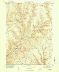
Other maps of this area

1943 · Hyner
USGS Topo · 1:62,500

1946 · Young Womans Creek
USGS Topo · 1:24,000

1946 · Renovo East
USGS Topo · 1:62,500

1946 · Renovo West
USGS Topo · 1:62,500

1946 · Tamarack
USGS Topo · 1:24,000

1946 · Slate Run
USGS Topo · 1:24,000

1947 · Conrad
USGS Topo · 1:62,500

1947 · Galeton
USGS Topo · 1:62,500

1947 · Lee Fire Tower
USGS Topo · 1:24,000

1947 · Short Run
USGS Topo · 1:24,000