
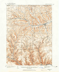
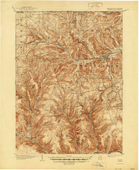
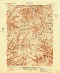
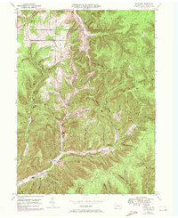
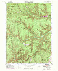
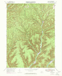
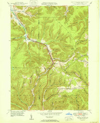
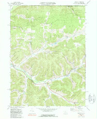
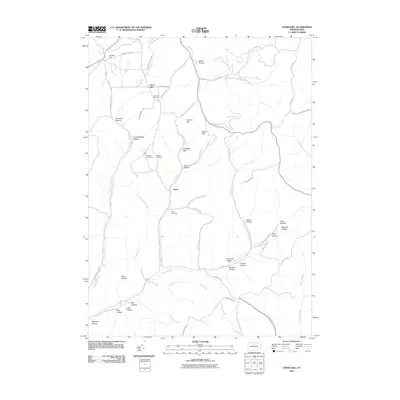
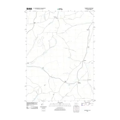
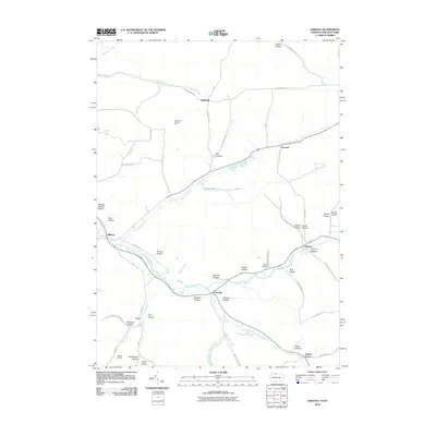
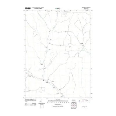
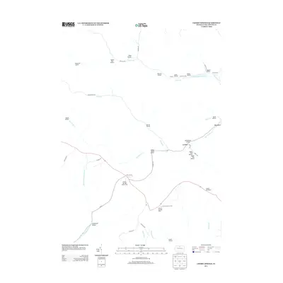
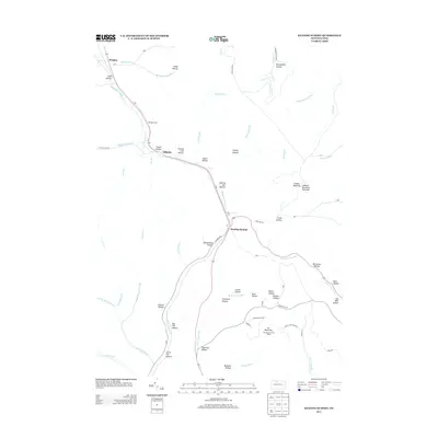
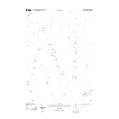
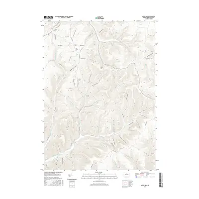
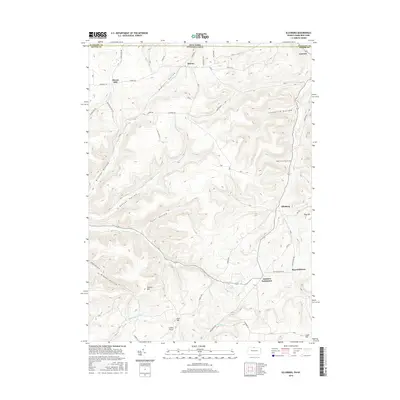
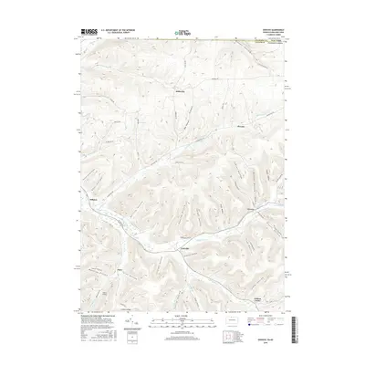
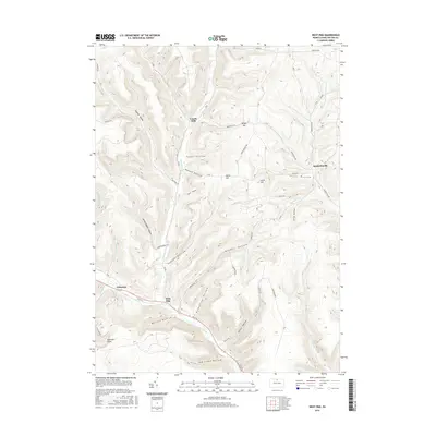
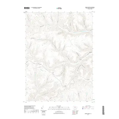
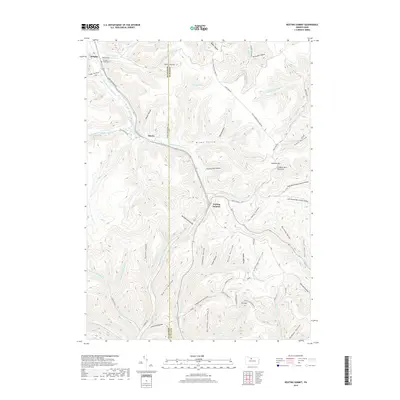
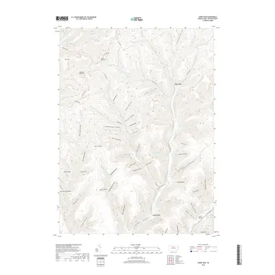
1994 Map of Cherry Springs
USGS Topo · Published 1999About this map
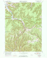
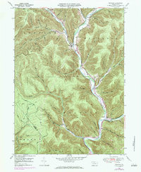
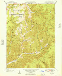
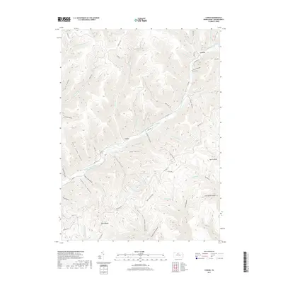
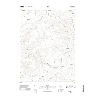
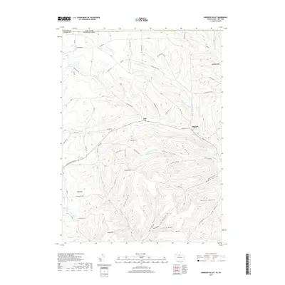
Susquehannock State Forest blankets the high plateaus of Potter County on this 1990s survey, characterized by a dense network of forest trails and secluded wilderness camps. The area serves as a major watershed divide where the West Branch Pine Creek and the East Fork Sinnemahoning Creek originate, flowing in opposite directions toward the Susquehanna River. Small mountain settlements like Cherry Springs and Corbett are connected by the Coudersport Pike, while the upland terrain is punctuated by landmarks such as the Cherry Springs Fire Tower and the Cherry Springs Airport. High-altitude recreation and conservation define the landscape, as seen in the protected grounds of Cherry Springs State Park and Lyman Run State Park, both of which are surrounded by numerous paths like the Indian Trail and the Rock Run Trail.
Find a feature on this map
45 named features on this map. Tap any name to fly to it.
Don’t see what you’re looking for? This feature index may not catch every label — zoom into the map to look around manually.
Map Details
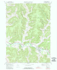
Editions of this 1994 Cherry Springs Map
This is the sole edition of this map. No revisions or reprints were ever made.
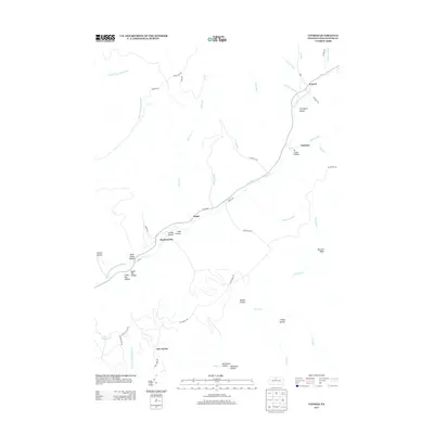
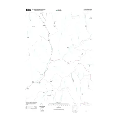
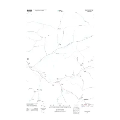
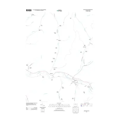
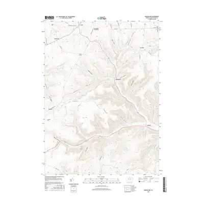
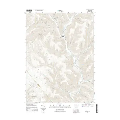
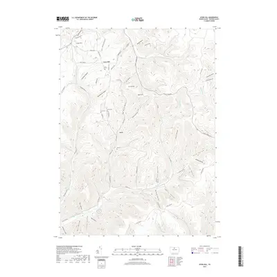
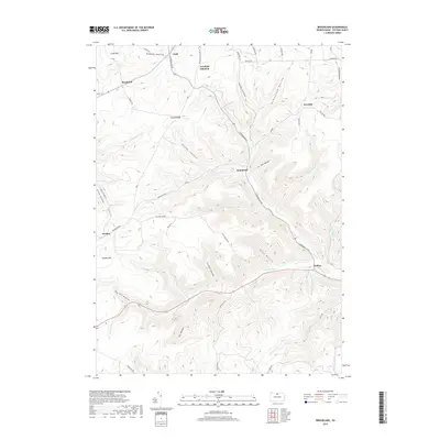
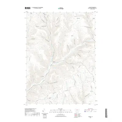
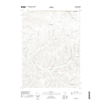
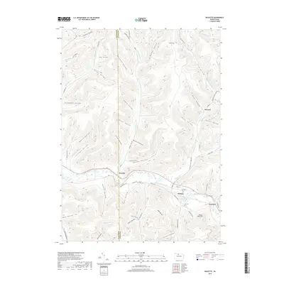
Historical Maps of Sweden Township Through Time
101 maps found
1899 Gaines
Potter County, PA
1900 Gaines
Potter County, PA

1932 Genesee
Potter County, PA
1937 Genesee
Potter County, PA
1947 Ayers Hill
Potter County, PA
1947 Cherry Springs
Potter County, PA
1947 Conrad
Potter County, PA
1947 Conrad
Potter County, PA
1947 Oleona
Potter County, PA
1947 Short Run
Potter County, PA
1948 Keating Summit
Potter County, PA
1948 Wharton
Potter County, PA
1949 Ayers Hill
Potter County, PA

1949 Cherry Springs
Potter County, PA

1949 Short Run
Potter County, PA

1950 Conrad
Potter County, PA
1950 Keating Summit
Potter County, PA

1950 Oleona
Potter County, PA

1950 Wharton
Potter County, PA
1957 Harrison Valley
Potter County, PA
1969 Brookland
Potter County, PA
1969 Ellisburg
Potter County, PA
1969 Oswayo
Potter County, PA
1969 Roulette
Potter County, PA
1969 Ulysses
Potter County, PA
1969 West Pike
Potter County, PA

1971 Short Run
Potter County, PA
1994 Cherry Springs
Potter County, PA

1994 Conrad
Potter County, PA

1994 Wharton
Potter County, PA

1995 Oleona
Potter County, PA
2010 Ayers Hill
Potter County, PA
2010 Brookland
Potter County, PA
2010 Cherry Springs
Potter County, PA
2010 Conrad
Potter County, PA
2010 Ellisburg
Potter County, PA
2010 Harrison Valley
Potter County, PA
2010 Keating Summit
Potter County, PA
2010 Oleona
Potter County, PA
2010 Oswayo
Potter County, PA
2010 Roulette
Potter County, PA
2010 Short Run
Potter County, PA
2010 Ulysses
Potter County, PA
2010 West Pike
Potter County, PA
2010 Wharton
Potter County, PA
2013 Ayers Hill
Potter County, PA
2013 Brookland
Potter County, PA
2013 Cherry Springs
Potter County, PA
2013 Conrad
Potter County, PA
2013 Ellisburg
Potter County, PA
2013 Harrison Valley
Potter County, PA
2013 Keating Summit
Potter County, PA
2013 Oleona
Potter County, PA
2013 Oswayo
Potter County, PA
2013 Roulette
Potter County, PA
2013 Short Run
Potter County, PA
2013 Ulysses
Potter County, PA
2013 West Pike
Potter County, PA
2013 Wharton
Potter County, PA
2016 Ayers Hill
Potter County, PA
2016 Brookland
Potter County, PA
2016 Cherry Springs
Potter County, PA
2016 Conrad
Potter County, PA
2016 Ellisburg
Potter County, PA
2016 Harrison Valley
Potter County, PA
2016 Keating Summit
Potter County, PA
2016 Oleona
Potter County, PA
2016 Oswayo
Potter County, PA
2016 Roulette
Potter County, PA
2016 Short Run
Potter County, PA
2016 Ulysses
Potter County, PA
2016 West Pike
Potter County, PA
2016 Wharton
Potter County, PA
2019 Ayers Hill
Potter County, PA
2019 Brookland
Potter County, PA
2019 Cherry Springs
Potter County, PA
2019 Conrad
Potter County, PA
2019 Ellisburg
Potter County, PA
2019 Harrison Valley
Potter County, PA
2019 Keating Summit
Potter County, PA
2019 Oleona
Potter County, PA
2019 Oswayo
Potter County, PA
2019 Roulette
Potter County, PA
2019 Short Run
Potter County, PA
2019 Ulysses
Potter County, PA
2019 West Pike
Potter County, PA
2019 Wharton
Potter County, PA

2023 Ayers Hill
Potter County, PA

2023 Brookland
Potter County, PA

2023 Cherry Springs
Potter County, PA

2023 Conrad
Potter County, PA

2023 Ellisburg
Potter County, PA

2023 Harrison Valley
Potter County, PA
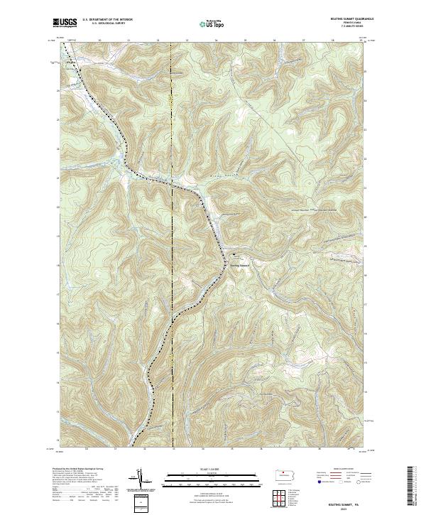
2023 Keating Summit
Potter County, PA
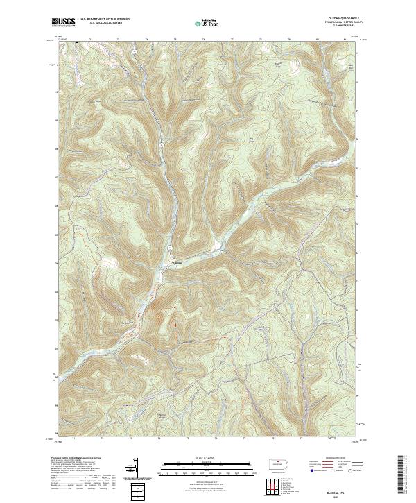
2023 Oleona
Potter County, PA
2023 Oswayo
Potter County, PA
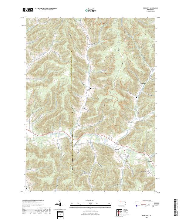
2023 Roulette
Potter County, PA

2023 Short Run
Potter County, PA

2023 Ulysses
Potter County, PA

2023 West Pike
Potter County, PA

2023 Wharton
Potter County, PA
Featured Locations
- Abbott Township, PA
- Summit Township, PA
- Sweden Township, PA
- West Branch Township, PA
- Wharton Township, PA