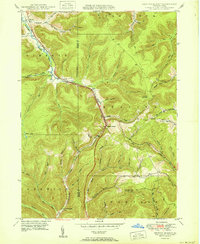
1950 Map of Keating Summit
USGS Topo · Published 1950About this map
Keating Summit sits at the high point of this Pennsylvania landscape, where the Pennsylvania RR and Pennsylvania 155 trace the winding path of Portage Creek. The 1950 survey reveals a topography defined by steep hollows and high points like Lookout Mountain and Fox Mountain, the latter of which features a designated Fire Tower. Small settlements such as Liberty, Wrights, and Hamilton are concentrated along the narrow valley floors, illustrating a typical Appalachian settlement pattern where commerce and transit follow the drainage of the Allegheny River and Sinnemahoning Creek. The map documents numerous named local features such as Slabtown Hollow and Planing Mill Hol, which hint at the region's industrial and logging history. The meticulous delineation of McKean and Potter County lines provides a clear record of administrative boundaries as they integrated with the natural terrain during the mid-century.
Find a feature on this map
58 named features on this map. Tap any name to fly to it.
Don’t see what you’re looking for? This feature index may not catch every label — zoom into the map to look around manually.
Map Details
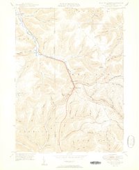
Editions of this 1950 Keating Summit Map
2 editions found
Other maps of this area

1933 · Smethport
USGS Topo · 1:62,500

1934 · Coudersport
USGS Topo · 1:48,000

1937 · Smethport
USGS Topo · 1:62,500

1938 · Coudersport
USGS Topo · 1:62,500

1948 · Crosby
USGS Topo · 1:62,500

1948 · Emporium
USGS Topo · 1:62,500

1948 · Keating Summit
USGS Topo · 1:24,000

1948 · Emporium
USGS Topo · 1:24,000
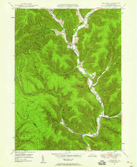
1948 · Wharton
USGS Topo · 1:24,000

1948 · Rich Valley
USGS Topo · 1:24,000
Featured Places
- Liberty Township, PA
- Roulette Township, PA
- Norwich Township, PA
- Portage Township, PA
- Keating Township, PA