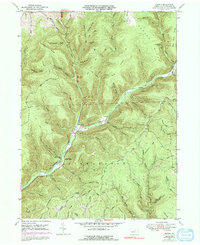
1947 Map of Oleona
USGS Topo · Published 1991About this map
Ole Bull State Park anchors this Potter County landscape, preserving the site of a mid-19th-century Norwegian colony. The ruins of Ole Bull Castle remain as a landmark above Kettle Creek, reflecting the ambitious but short-lived settlement efforts of violinist Ole Bull in the 1850s. The surrounding terrain is defined by steep, timbered ridges like Hickory Ridge and Yochum Ridge, which are dissected by numerous runs and hollows including Sawmill Run and Greenlick Run.
Find a feature on this map
65 named features on this map. Tap any name to fly to it.
Don’t see what you’re looking for? This feature index may not catch every label — zoom into the map to look around manually.
Map Details
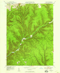
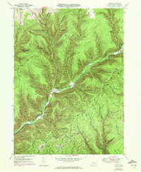
Editions of this 1947 Oleona Map
3 editions found
Other maps of this area

1943 · Hyner
USGS Topo · 1:62,500

1946 · Young Womans Creek
USGS Topo · 1:24,000

1946 · Renovo East
USGS Topo · 1:62,500

1946 · Renovo West
USGS Topo · 1:62,500

1946 · Tamarack
USGS Topo · 1:24,000

1946 · Slate Run
USGS Topo · 1:24,000

1947 · Conrad
USGS Topo · 1:62,500

1947 · Galeton
USGS Topo · 1:62,500

1947 · Lee Fire Tower
USGS Topo · 1:24,000

1947 · Short Run
USGS Topo · 1:24,000