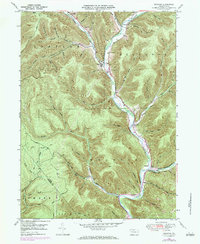
1948 Map of Wharton
USGS Topo · Published 1984About this map
Sinnemahoning Creek carves a deep path through this portion of Potter County, serving as the primary corridor for settlement and transit. The valley floors host the village of Wharton and the town of Costello, where the convergence of Freeman Run and the First Fork provides a natural hub for local activity. This landscape is defined by the legacy of the timber industry, evident in the numerous hollows such as Big Carlson Hol and Ripple Hol, and the presence of a Splash Dam on Bailey Run, a remnant of 19th-century log driving techniques.
Find a feature on this map
67 named features on this map. Tap any name to fly to it.
Don’t see what you’re looking for? This feature index may not catch every label — zoom into the map to look around manually.
Map Details
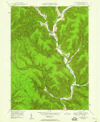
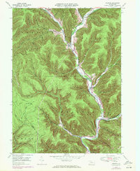
Editions of this 1948 Wharton Map
3 editions found
Other maps of this area

1945 · Driftwood
USGS Topo · 1:48,000

1945 · First Fork
USGS Topo · 1:24,000

1945 · Cameron
USGS Topo · 1:24,000

1946 · Renovo West
USGS Topo · 1:62,500

1946 · Hammersley Fork
USGS Topo · 1:24,000

1947 · Cameron
USGS Topo · 1:24,000

1947 · First Fork
USGS Topo · 1:24,000

1947 · Conrad
USGS Topo · 1:62,500

1947 · Conrad
USGS Topo · 1:24,000

1947 · Ayers Hill
USGS Topo · 1:24,000