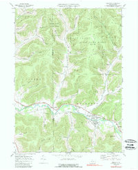
1969 Map of Roulette
USGS Topo · Published 1989About this map
The Allegheny River valley in northern Pennsylvania anchors this 1969 survey, tracing a corridor of settlement and industry between the rugged ridges of State Game Lands No 59. The village of Roulette serves as the primary hub, where the river meets Fishing Creek and the local road network. Smaller hamlets like Burtville and Knowlton appear along the valley floor, connected by an Old RR Grade that hints at the area's former logging and transport dependence.
Find a feature on this map
62 named features on this map. Tap any name to fly to it.
Don’t see what you’re looking for? This feature index may not catch every label — zoom into the map to look around manually.
Map Details
Editions of this 1969 Roulette Map
4 editions found
Other maps of this area

1933 · Smethport
USGS Topo · 1:62,500

1934 · Coudersport
USGS Topo · 1:48,000

1937 · Smethport
USGS Topo · 1:62,500

1938 · Coudersport
USGS Topo · 1:62,500

1948 · Crosby
USGS Topo · 1:62,500

1948 · Emporium
USGS Topo · 1:62,500

1948 · Keating Summit
USGS Topo · 1:24,000

1948 · Norwich
USGS Topo · 1:24,000
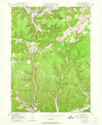
1948 · Austin
USGS Topo · 1:24,000
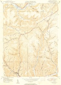
1950 · Austin
USGS Topo · 1:24,000
Featured Places
- Liberty Township, PA
- Roulette Township, PA
- Clara Township, PA
- Annin Township, PA
- Durward, Clara Township