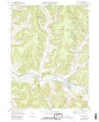
1969 Map of Roulette
USGS Topo · Published 1989About this map
The Allegheny River valley serves as the primary corridor for settlement and industry in this portion of Potter and McKean Counties. During the late 1960s, the village of Roulette remained the focal point of the region, situated at the junction of the river and Fishing Creek. Local community life is anchored by landmarks such as Smith Sch, Riverside Ch, and the Lyman Cem, while an Old RR Grade south of the river traces the path of former rail commerce.
Find a feature on this map
56 named features on this map. Tap any name to fly to it.
Don’t see what you’re looking for? This feature index may not catch every label — zoom into the map to look around manually.
Map Details
Editions of this 1969 Roulette Map
4 editions found
Other maps of this area

1933 · Smethport
USGS Topo · 1:62,500

1934 · Coudersport
USGS Topo · 1:48,000

1937 · Smethport
USGS Topo · 1:62,500

1938 · Coudersport
USGS Topo · 1:62,500

1948 · Crosby
USGS Topo · 1:62,500

1948 · Emporium
USGS Topo · 1:62,500

1948 · Keating Summit
USGS Topo · 1:24,000

1948 · Norwich
USGS Topo · 1:24,000
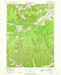
1948 · Austin
USGS Topo · 1:24,000
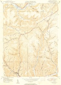
1950 · Austin
USGS Topo · 1:24,000
Featured Places
- Liberty Township, PA
- Roulette Township, PA
- Clara Township, PA
- Annin Township, PA
- Durward, Clara Township