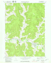
1969 Map of Roulette
USGS Topo · Published 1980About this map
The Allegheny River carves a deep valley through the northern Pennsylvania landscape, anchoring the settlements of Roulette and Burtville along its banks. This 1969 survey, field-checked during a period of industrial transition, shows the infrastructure of the local timber and gas economy, including numerous gas wells and the Old RR Grade following the river. The valley floor is dotted with historical landmarks essential for genealogical research, such as the Smith Sch and several family or community burial grounds including Hull Cem and Lyman Cem.
Find a feature on this map
51 named features on this map. Tap any name to fly to it.
Don’t see what you’re looking for? This feature index may not catch every label — zoom into the map to look around manually.
Map Details
Editions of this 1969 Roulette Map
4 editions found
Other maps of this area

1933 · Smethport
USGS Topo · 1:62,500

1934 · Coudersport
USGS Topo · 1:48,000

1937 · Smethport
USGS Topo · 1:62,500

1938 · Coudersport
USGS Topo · 1:62,500

1948 · Crosby
USGS Topo · 1:62,500

1948 · Emporium
USGS Topo · 1:62,500

1948 · Keating Summit
USGS Topo · 1:24,000

1948 · Norwich
USGS Topo · 1:24,000
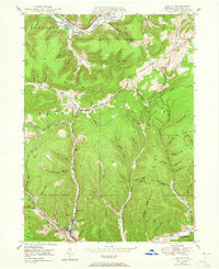
1948 · Austin
USGS Topo · 1:24,000
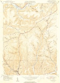
1950 · Austin
USGS Topo · 1:24,000
Featured Places
- Liberty Township, PA
- Roulette Township, PA
- Clara Township, PA
- Annin Township, PA
- Durward, Clara Township