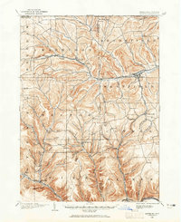
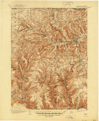
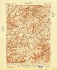
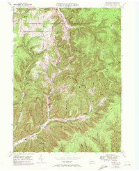
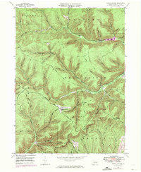
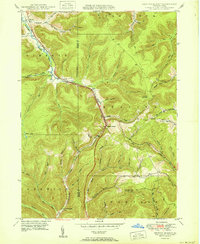
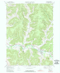
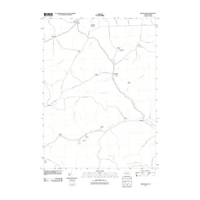
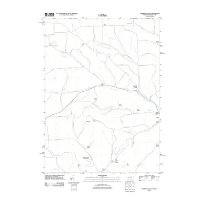
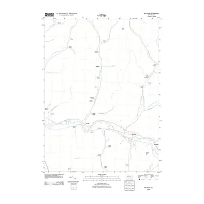
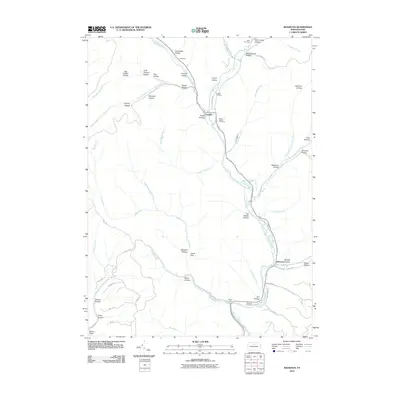
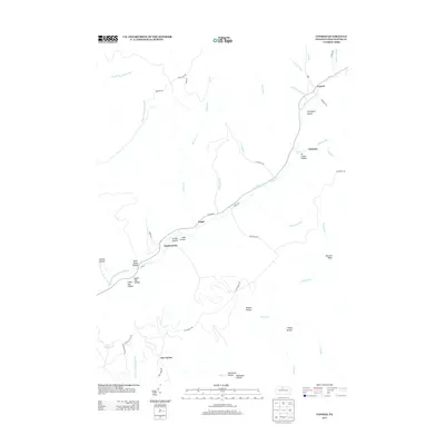
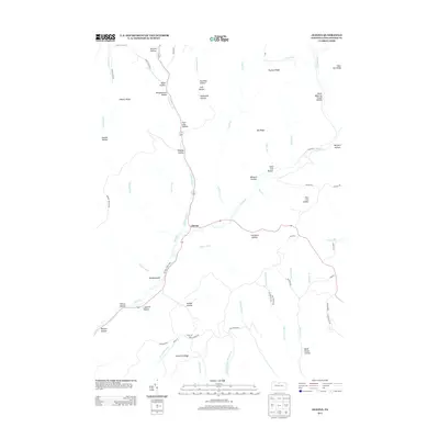
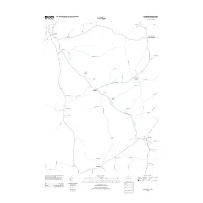
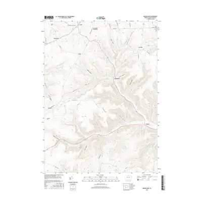
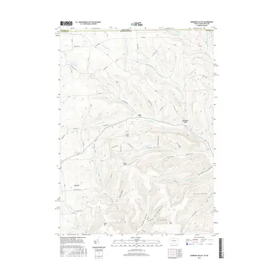
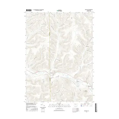
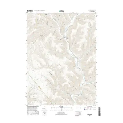
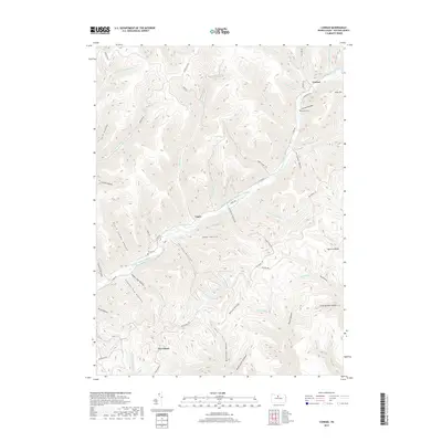
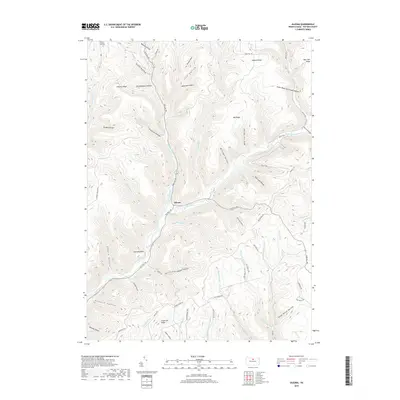
1969 Map of Brookland
USGS Topo · Published 1988About this map
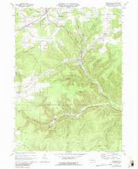
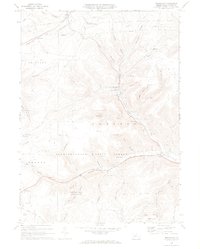
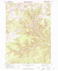
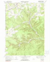
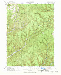
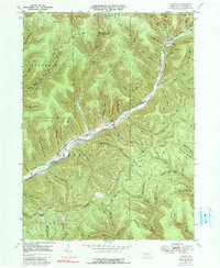
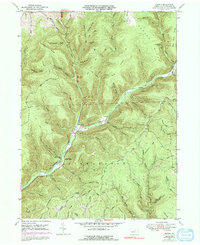
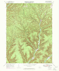
Susquehannock State Forest blankets the southern half of this landscape, where the headwaters of Pine Creek carve deep valleys through the Allegheny Plateau. The topography of northern Potter County in the late 1960s is defined by a dense network of hollows, such as Raplee Hollow and Big Fill Hollow, which dictated the early settlement patterns of rural communities like Brookland and Gold. The presence of several country schools, including Oak Hall Sch and Buckseller Sch, alongside the Sweden Hill Ch, points to a persistent social infrastructure in these remote uplands.
Find a feature on this map
48 named features on this map. Tap any name to fly to it.
Don’t see what you’re looking for? This feature index may not catch every label — zoom into the map to look around manually.
Map Details
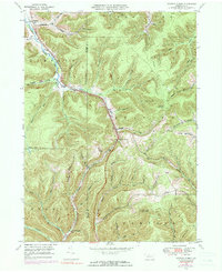
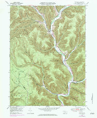
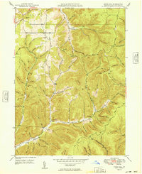
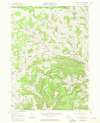
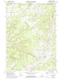
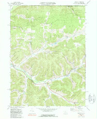
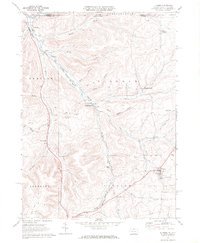
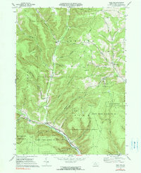
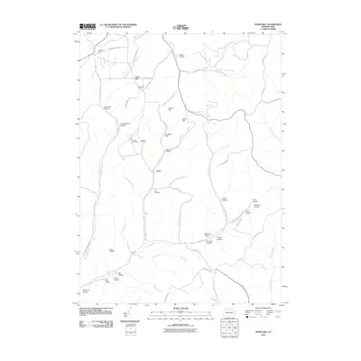
Editions of this 1969 Brookland Map
4 editions found
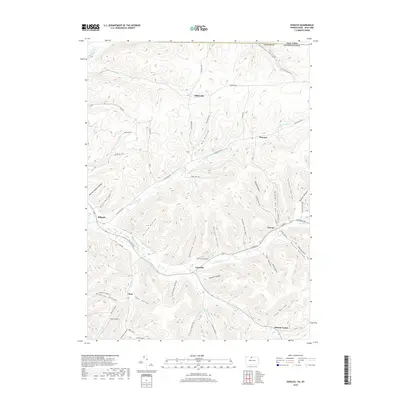
Historical Maps of Sweden Township Through Time
101 maps found
1899 Gaines
Potter County, PA
1900 Gaines
Potter County, PA

1932 Genesee
Potter County, PA
1937 Genesee
Potter County, PA
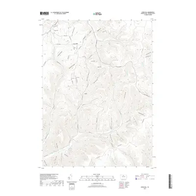
1947 Ayers Hill
Potter County, PA
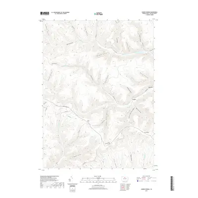
1947 Cherry Springs
Potter County, PA
1947 Conrad
Potter County, PA
1947 Conrad
Potter County, PA
1947 Oleona
Potter County, PA
1947 Short Run
Potter County, PA
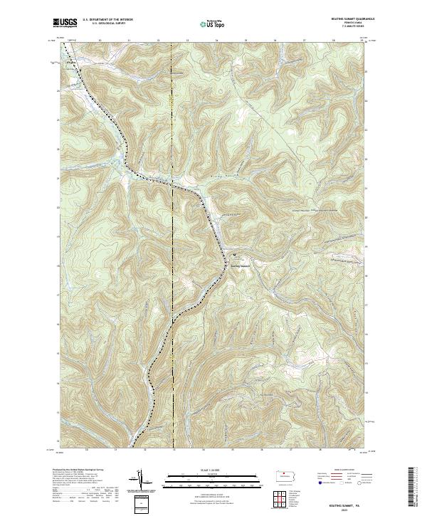
1948 Keating Summit
Potter County, PA
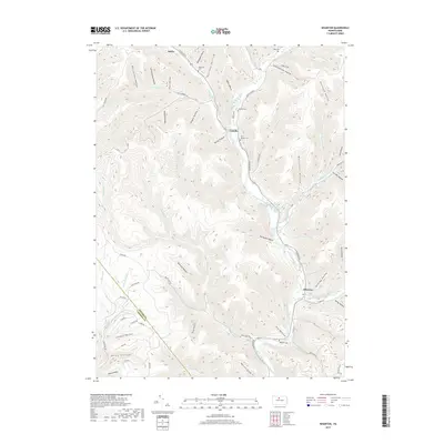
1948 Wharton
Potter County, PA
1949 Ayers Hill
Potter County, PA

1949 Cherry Springs
Potter County, PA

1949 Short Run
Potter County, PA

1950 Conrad
Potter County, PA
1950 Keating Summit
Potter County, PA

1950 Oleona
Potter County, PA

1950 Wharton
Potter County, PA
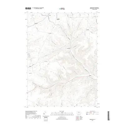
1957 Harrison Valley
Potter County, PA
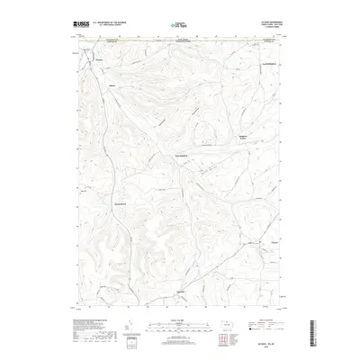
1969 Brookland
Potter County, PA
1969 Ellisburg
Potter County, PA
1969 Oswayo
Potter County, PA
1969 Roulette
Potter County, PA
1969 Ulysses
Potter County, PA
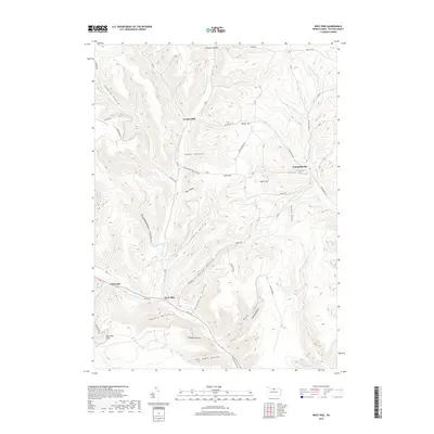
1969 West Pike
Potter County, PA

1971 Short Run
Potter County, PA

1994 Cherry Springs
Potter County, PA

1994 Conrad
Potter County, PA

1994 Wharton
Potter County, PA

1995 Oleona
Potter County, PA
2010 Ayers Hill
Potter County, PA
2010 Brookland
Potter County, PA
2010 Cherry Springs
Potter County, PA
2010 Conrad
Potter County, PA
2010 Ellisburg
Potter County, PA
2010 Harrison Valley
Potter County, PA
2010 Keating Summit
Potter County, PA
2010 Oleona
Potter County, PA
2010 Oswayo
Potter County, PA
2010 Roulette
Potter County, PA
2010 Short Run
Potter County, PA
2010 Ulysses
Potter County, PA
2010 West Pike
Potter County, PA
2010 Wharton
Potter County, PA
2013 Ayers Hill
Potter County, PA
2013 Brookland
Potter County, PA
2013 Cherry Springs
Potter County, PA
2013 Conrad
Potter County, PA
2013 Ellisburg
Potter County, PA
2013 Harrison Valley
Potter County, PA
2013 Keating Summit
Potter County, PA
2013 Oleona
Potter County, PA
2013 Oswayo
Potter County, PA
2013 Roulette
Potter County, PA
2013 Short Run
Potter County, PA
2013 Ulysses
Potter County, PA
2013 West Pike
Potter County, PA
2013 Wharton
Potter County, PA
2016 Ayers Hill
Potter County, PA
2016 Brookland
Potter County, PA
2016 Cherry Springs
Potter County, PA
2016 Conrad
Potter County, PA
2016 Ellisburg
Potter County, PA
2016 Harrison Valley
Potter County, PA
2016 Keating Summit
Potter County, PA
2016 Oleona
Potter County, PA
2016 Oswayo
Potter County, PA
2016 Roulette
Potter County, PA
2016 Short Run
Potter County, PA
2016 Ulysses
Potter County, PA
2016 West Pike
Potter County, PA
2016 Wharton
Potter County, PA
2019 Ayers Hill
Potter County, PA
2019 Brookland
Potter County, PA
2019 Cherry Springs
Potter County, PA
2019 Conrad
Potter County, PA
2019 Ellisburg
Potter County, PA
2019 Harrison Valley
Potter County, PA
2019 Keating Summit
Potter County, PA
2019 Oleona
Potter County, PA
2019 Oswayo
Potter County, PA
2019 Roulette
Potter County, PA
2019 Short Run
Potter County, PA
2019 Ulysses
Potter County, PA
2019 West Pike
Potter County, PA
2019 Wharton
Potter County, PA

2023 Ayers Hill
Potter County, PA

2023 Brookland
Potter County, PA

2023 Cherry Springs
Potter County, PA

2023 Conrad
Potter County, PA

2023 Ellisburg
Potter County, PA

2023 Harrison Valley
Potter County, PA
2023 Keating Summit
Potter County, PA
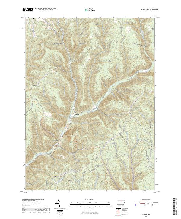
2023 Oleona
Potter County, PA
2023 Oswayo
Potter County, PA
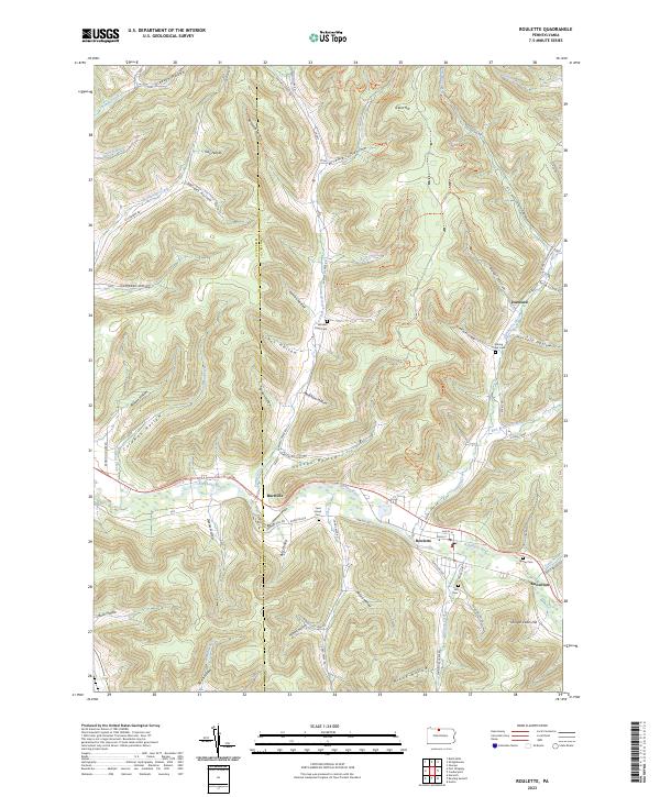
2023 Roulette
Potter County, PA

2023 Short Run
Potter County, PA

2023 Ulysses
Potter County, PA

2023 West Pike
Potter County, PA

2023 Wharton
Potter County, PA
Featured Locations
- Allegany Township, PA
- Sweden Township, PA
- Ulysses Township, PA
- Newfield Junction, Ulysses Township
- Walton, Ulysses Township