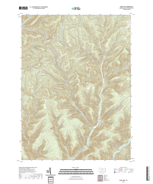
2023 Map of Short Run
USGS Topo · Published 2023About this map
Deep incisions of the Pennsylvania Wilds define this landscape, where the Cross Fork river and Kettle Creek navigate a dense network of hollows and ridges. This modern survey illustrates the conservation-focused character of the region, anchored by the Susquehannock Trail System Tri and the Susquehannock State Forest Snowmobile Trails Tri. Small settlements such as Short Run and Gravel Lick sit at the confluence of creek beds and forest roads, while high-altitude landmarks like Elk Lick Knob and Stony Peak overlook the narrow valleys below.
Find a feature on this map
72 named features on this map. Tap any name to fly to it.
Don’t see what you’re looking for? This feature index may not catch every label — zoom into the map to look around manually.
Map Details
Editions of this 2023 Short Run Map
This is the sole edition of this map. No revisions or reprints were ever made.
Other maps of this area

1943 · Hyner
USGS Topo · 1:62,500

1946 · Young Womans Creek
USGS Topo · 1:24,000

1946 · Renovo East
USGS Topo · 1:62,500

1946 · Renovo West
USGS Topo · 1:62,500

1946 · Hammersley Fork
USGS Topo · 1:24,000

1946 · Tamarack
USGS Topo · 1:24,000

1947 · Conrad
USGS Topo · 1:62,500

1947 · Galeton
USGS Topo · 1:62,500

1947 · Conrad
USGS Topo · 1:24,000

1947 · Short Run
USGS Topo · 1:24,000
Featured Places
- Abbott Township, PA
- Wharton Township, PA
- Stewardson Township, PA
- Summit Township, PA
- Gravel Lick, Stewardson Township