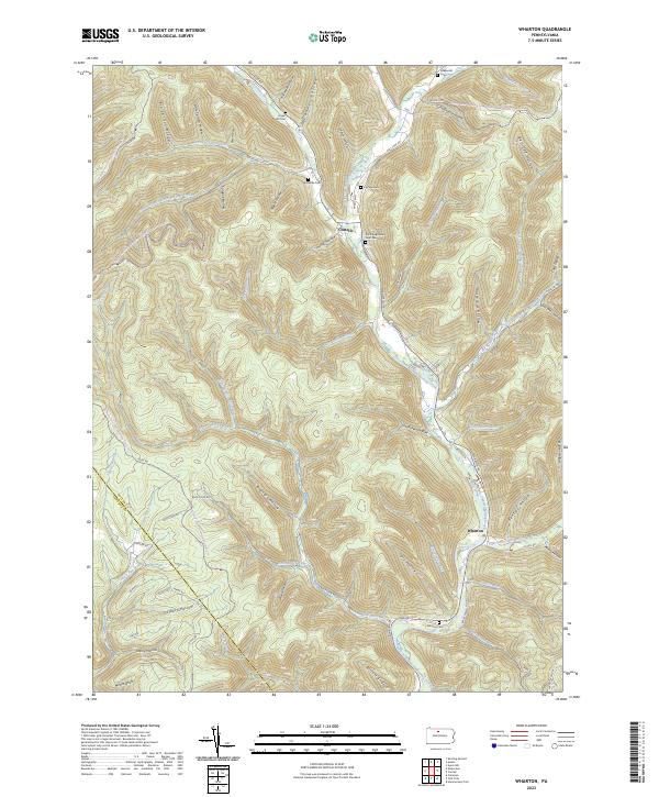
2023 Map of Wharton
USGS Topo · Published 2023About this map
The First Fork Sinnemahoning Creek carves a deep path through this section of Potter County, dictating the settlement patterns of Wharton and Costello. The creek valley serves as the primary corridor for movement, where Wharton Rd and Costello Rd connect these small communities. Away from the water, the landscape is defined by an intricate network of hollows, including Schoolhouse Hollow and Butternut Hollow, which feed into the main drainage system. This topography has historically limited expansion, keeping residences and cemeteries like the Wharton Cem and Saint Augustine Saint Paul Cem tightly clustered near the valley floors.
Find a feature on this map
75 named features on this map. Tap any name to fly to it.
Don’t see what you’re looking for? This feature index may not catch every label — zoom into the map to look around manually.
Map Details
Editions of this 2023 Wharton Map
This is the sole edition of this map. No revisions or reprints were ever made.
Other maps of this area

1945 · Driftwood
USGS Topo · 1:48,000

1945 · First Fork
USGS Topo · 1:24,000

1945 · Cameron
USGS Topo · 1:24,000

1946 · Renovo West
USGS Topo · 1:62,500

1946 · Hammersley Fork
USGS Topo · 1:24,000

1947 · Cameron
USGS Topo · 1:24,000

1947 · First Fork
USGS Topo · 1:24,000

1947 · Conrad
USGS Topo · 1:62,500

1947 · Conrad
USGS Topo · 1:24,000

1947 · Ayers Hill
USGS Topo · 1:24,000