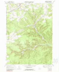
1969 Map of Brookland
USGS Topo · Published 1988About this map
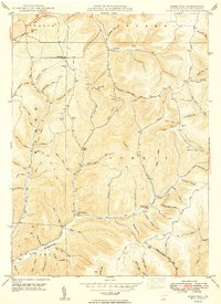
Susquehannock State Forest dominates this Potter County landscape, where the headwaters of Pine Creek carve through deep hollows. The late 1960s terrain shows a region defined by recreational development and resource extraction, anchored by the presence of Denton Hill State Park and its Ski Lifts. In the valleys, small settlements like Brookland and Walton sit along the winding Wellsville Addison and Galeton corridor. The map preserves local landmarks such as the Oak Hall Sch and the Potato City Airfield, while numerous gas wells and pipelines indicate the industrial footprint of the era. The transition from timbered ridges to narrow agricultural flats is evident near Newfield Junction and the small upland community at Gold.
Find a feature on this map
45 named features on this map. Tap any name to fly to it.
Don’t see what you’re looking for? This feature index may not catch every label — zoom into the map to look around manually.
Map Details
Editions of this 1969 Brookland Map
4 editions found
Other maps of this area

1899 · Gaines
USGS Topo · 1:62,500

1900 · Gaines
USGS Topo · 1:62,500

1932 · Genesee
USGS Topo · 1:62,500

1937 · Genesee
USGS Topo · 1:62,500

1947 · Conrad
USGS Topo · 1:62,500

1947 · Galeton
USGS Topo · 1:62,500

1947 · Ayers Hill
USGS Topo · 1:24,000

1947 · Cherry Springs
USGS Topo · 1:24,000

1947 · Galeton
USGS Topo · 1:24,000
1949 · Ayers Hill
USGS Topo · 1:24,000
Featured Places
- Sweden Township, PA
- Allegany Township, PA
- Newfield Junction, Ulysses Township
- Ulysses Township, PA
- Walton, Ulysses Township