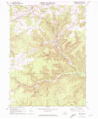
1969 Map of Brookland
USGS Topo · Published 1972About this map
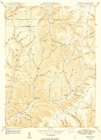
Deep valleys and timbered ridges of the Susquehannock State Forest dominate this 1969 landscape, where small crossroads settlements follow the narrow path of the C & P A railroad. The village of Brookland serves as a central hub, situated near the Oak Hall Sch and the intersection of Wells Creek with the larger Pine Creek valley. To the south, recreation and aviation emerge as modern influences, seen in the proximity of Denton Hill State Park and the high-altitude Potato City Airfield. The map reveals the intricate drainage patterns of the Allegheny Plateau, with numerous "hollows" like Ellis Hollow and Ninemite Run carving the terrain. While older infrastructure like the Old Grade Railroad persists in the north, newer energy systems are evident through the network of Pipeline corridors and a Substation near Fox Hill.
Find a feature on this map
59 named features on this map. Tap any name to fly to it.
Don’t see what you’re looking for? This feature index may not catch every label — zoom into the map to look around manually.
Map Details
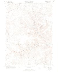
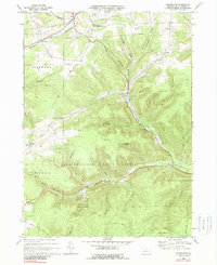
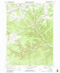
Editions of this 1969 Brookland Map
4 editions found
Other maps of this area

1899 · Gaines
USGS Topo · 1:62,500

1900 · Gaines
USGS Topo · 1:62,500

1932 · Genesee
USGS Topo · 1:62,500

1937 · Genesee
USGS Topo · 1:62,500

1947 · Conrad
USGS Topo · 1:62,500

1947 · Galeton
USGS Topo · 1:62,500

1947 · Ayers Hill
USGS Topo · 1:24,000

1947 · Cherry Springs
USGS Topo · 1:24,000

1947 · Galeton
USGS Topo · 1:24,000
1949 · Ayers Hill
USGS Topo · 1:24,000
Featured Places
- Sweden Township, PA
- Allegany Township, PA
- Newfield Junction, Ulysses Township
- Ulysses Township, PA
- Walton, Ulysses Township