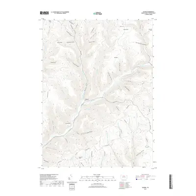
2019 Map of Oleona
USGS Topo · Published 2019About this map
Oleona and the small settlement of Nordjeuskald occupy the narrow valley floor of Kettle Creek, a landscape defined by an intricate network of ridges and hollows in Potter County. This 2019 survey captures the modern road system, including the winding Ole Bull Rd and Pine Hill Rd, which trace the path of historic routes through the deep Appalachian terrain. The naming of Stone Watering Trough Hollow and Dead Horse Hollow suggests the area's long history as a mountain passage for livestock and travelers. Higher elevations are marked by the Yochum Hill Cem and significant landforms like Rawson Ridge and Hickory Ridge. The map details numerous tributaries such as Little Kettle Cr and Ole Bull Run, reflecting the complex drainage patterns that have shaped this region of Pennsylvania for generations.
Find a feature on this map
75 named features on this map. Tap any name to fly to it.
Don’t see what you’re looking for? This feature index may not catch every label — zoom into the map to look around manually.
Map Details
Editions of this 2019 Oleona Map
This is the sole edition of this map. No revisions or reprints were ever made.
Other maps of this area

1943 · Hyner
USGS Topo · 1:62,500

1946 · Young Womans Creek
USGS Topo · 1:24,000

1946 · Renovo East
USGS Topo · 1:62,500

1946 · Renovo West
USGS Topo · 1:62,500

1946 · Tamarack
USGS Topo · 1:24,000

1946 · Slate Run
USGS Topo · 1:24,000

1947 · Conrad
USGS Topo · 1:62,500

1947 · Galeton
USGS Topo · 1:62,500

1947 · Lee Fire Tower
USGS Topo · 1:24,000

1947 · Short Run
USGS Topo · 1:24,000