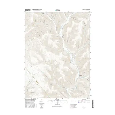
2016 Map of Wharton
USGS Topo · Published 2016About this map
First Fork Sinnemahoning Creek carves a deep path through this section of the Pennsylvania Wilds, serving as the central axis for the small settlements of Wharton, Costello, and the southern edge of Austin. The landscape is defined by an intricate network of narrow drainages such as Freeman Run and Bailey Run, which feed into the larger creek valley. This geography dictated the placement of early infrastructure, with First Fork Rd and various forestry routes following the level ground near the water.
Find a feature on this map
70 named features on this map. Tap any name to fly to it.
Don’t see what you’re looking for? This feature index may not catch every label — zoom into the map to look around manually.
Map Details
Editions of this 2016 Wharton Map
This is the sole edition of this map. No revisions or reprints were ever made.
Other maps of this area

1945 · Driftwood
USGS Topo · 1:48,000

1945 · First Fork
USGS Topo · 1:24,000

1945 · Cameron
USGS Topo · 1:24,000

1946 · Renovo West
USGS Topo · 1:62,500

1946 · Hammersley Fork
USGS Topo · 1:24,000

1947 · Cameron
USGS Topo · 1:24,000

1947 · First Fork
USGS Topo · 1:24,000

1947 · Conrad
USGS Topo · 1:62,500

1947 · Conrad
USGS Topo · 1:24,000

1947 · Ayers Hill
USGS Topo · 1:24,000
Featured Places
- Wharton Township, PA
- Costello, Portage Township
- Lumber Township, PA
- Portage Township, PA
- Grove Township, PA