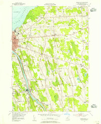
1954 Map of Oswego East
USGS Topo · Published 1956About this map
The Oswego River and the shoreline of Lake Ontario anchor this mid-century survey of the Oswego vicinity. The industrial and transportation corridor along the river is clearly defined by the New York Central and Delaware Lackawanna and Western railroads, which served the mills and docks of the region. Inland, the landscape transitions into a network of rural hamlets such as Scriba, North Scriba, and Lansing, interspersed with ridges like Dutch Ridge and Paddy Ridge.
Find a feature on this map
59 named features on this map. Tap any name to fly to it.
Don’t see what you’re looking for? This feature index may not catch every label — zoom into the map to look around manually.
Map Details
Editions of this 1954 Oswego East Map
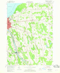
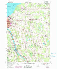
3 editions found
Other maps of this area

1900 · Oswego
USGS Topo · 1:62,500

1900 · Fulton
USGS Topo · 1:62,500

1943 · Oswego East
USGS Topo · 1:31,680

1943 · New Haven
USGS Topo · 1:31,680

1943 · Oswego West
USGS Topo · 1:31,680

1943 · Texas
USGS Topo · 1:31,680

1943 · Pennellville
USGS Topo · 1:31,680

1943 · Hannibal
USGS Topo · 1:31,680

1943 · West Of Texas
USGS Topo · 1:31,680
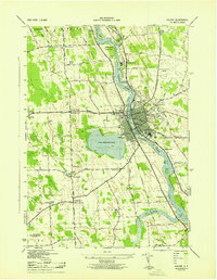
1943 · Fulton
USGS Topo · 1:31,680