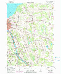
1954 Map of Oswego East
USGS Topo · Published 1979About this map
The Oswego River serves as the industrial and navigational spine of this landscape, winding north past Minetto and Seneca Hill toward the city of Oswego and the vast expanse of Lake Ontario. The river's bank is lined with significant local history markers, including the expansive Riverside Cemetery and the St Peters Cem, while the interior of the quadrangle is defined by a series of north-south glacial features like Dutch Ridge and Paddy Ridge.
Find a feature on this map
58 named features on this map. Tap any name to fly to it.
Don’t see what you’re looking for? This feature index may not catch every label — zoom into the map to look around manually.
Map Details
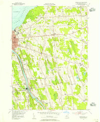
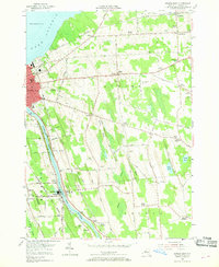
Editions of this 1954 Oswego East Map
3 editions found
Other maps of this area

1900 · Oswego
USGS Topo · 1:62,500

1900 · Fulton
USGS Topo · 1:62,500

1943 · Oswego East
USGS Topo · 1:31,680

1943 · New Haven
USGS Topo · 1:31,680

1943 · Oswego West
USGS Topo · 1:31,680

1943 · Texas
USGS Topo · 1:31,680

1943 · Pennellville
USGS Topo · 1:31,680

1943 · Hannibal
USGS Topo · 1:31,680

1943 · West Of Texas
USGS Topo · 1:31,680
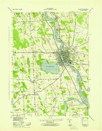
1943 · Fulton
USGS Topo · 1:31,680