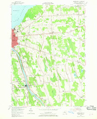
1954 Map of Oswego East
USGS Topo · Published 1969About this map
Lake Ontario defines the northern reaches of this coastal landscape, where the Oswego River flows past industrial and transit hubs. In the mid-1950s, the eastern edge of Oswego shows a dense urban grid giving way to the sprawling grounds of Riverside Cemetery and St Peters Cemetery. Downriver, the community of Minetto sits alongside the Delaware Lackawanna and Western railroad, anchored by navigation infrastructure like Lock No. 5.
Find a feature on this map
66 named features on this map. Tap any name to fly to it.
Don’t see what you’re looking for? This feature index may not catch every label — zoom into the map to look around manually.
Map Details
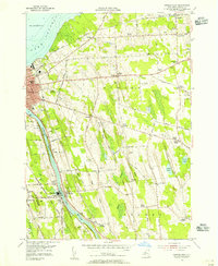
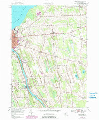
Editions of this 1954 Oswego East Map
3 editions found
Other maps of this area

1900 · Oswego
USGS Topo · 1:62,500

1900 · Fulton
USGS Topo · 1:62,500

1943 · Oswego East
USGS Topo · 1:31,680

1943 · New Haven
USGS Topo · 1:31,680

1943 · Oswego West
USGS Topo · 1:31,680

1943 · Texas
USGS Topo · 1:31,680

1943 · Pennellville
USGS Topo · 1:31,680

1943 · Hannibal
USGS Topo · 1:31,680

1943 · West Of Texas
USGS Topo · 1:31,680
1943 · Fulton
USGS Topo · 1:31,680