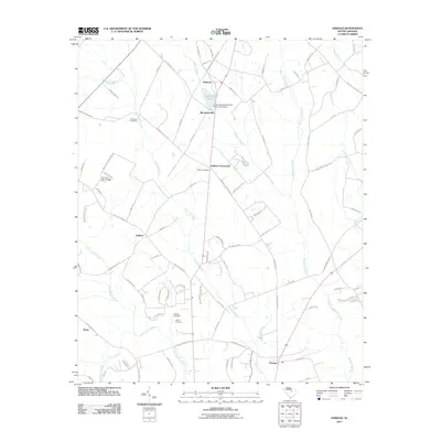
2011 Map of Oswego
USGS Topo · Published 2011About this map
Ashwood Lake and the surrounding agricultural lands of Sumter and Lee Counties define this landscape in the early 21st century. The map captures a series of small, rural settlements connected by a web of local roads, including Ashwood, Mechanicsville, and Oswego. These communities are anchored by deep-rooted local history, evidenced by numerous burial grounds such as Antioch Cemetery, Capers Cemetery, and Hebron Cemetery.
Find a feature on this map
92 named features on this map. Tap any name to fly to it.
Don’t see what you’re looking for? This feature index may not catch every label — zoom into the map to look around manually.
Map Details
Editions of this 2011 Oswego Map
This is the sole edition of this map. No revisions or reprints were ever made.
Other maps of this area

1920 · Mayesville
USGS Topo · 1:48,000

1921 · Mayesville
USGS Topo · 1:62,500

1941 · Spartanburg
USGS Topo · 1:250,000

1943 · Mayesville
USGS Topo · 1:62,500

1946 · Sumter
USGS Topo · 1:62,500

1953 · Spartanburg
USGS Topo · 1:250,000

1954 · Augusta
USGS Topo · 1:250,000

1957 · Sumter East
USGS Topo · 1:24,000

1957 · Sumter West
USGS Topo · 1:24,000

1957 · Ashwood
USGS Topo · 1:62,500