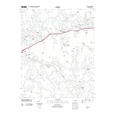
2010 Map of Oteen
USGS Topo · Published 2010About this map
The Swannanoa River valley serves as a central corridor for this mountain landscape, connecting the community of Oteen in the west to Swannanoa and Grovemont in the east. At the turn of the 21st century, the area shows a complex mix of suburban development and protected land, with the Blue Ridge Pkwy winding through the southern and western ridges. Residential pockets like Parkway Forest and Sherwood Forest are interspersed with significant recreational sites, including the Asheville Recreation Park Lake and Lake Craig.
Find a feature on this map
136 named features on this map. Tap any name to fly to it.
Don’t see what you’re looking for? This feature index may not catch every label — zoom into the map to look around manually.
Map Details
Editions of this 2010 Oteen Map
This is the sole edition of this map. No revisions or reprints were ever made.
Other maps of this area

1894 · Asheville
USGS Topo · 1:125,000

1900 · Mount Mitchell
USGS Topo · 1:125,000

1901 · Asheville
USGS Topo · 1:125,000

1902 · Mount Mitchell
USGS Topo · 1:125,000

1905 · Pisgah
USGS Topo · 1:125,000

1906 · Pisgah
USGS Topo · 1:125,000

1907 · Saluda
USGS Topo · 1:125,000

1935 · Montreat
USGS Topo · 1:24,000

1935 · Batcave
USGS Topo · 1:24,000

1935 · Black Mountain
USGS Topo · 1:24,000