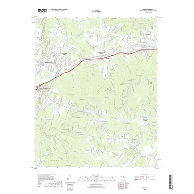
2019 Map of Oteen
USGS Topo · Published 2019About this map
Asheville sits at the western edge of this 2019 survey, where the Swannanoa River valley cuts through the Great Craggy Mountains and the Swannanoa Mountains. The landscape is a dense network of residential developments and historic enclaves including Swannanoa Hills, Grovemont, and Sherwood Forest. This era shows the continued prominence of the Southern Ry and the iconic Blue Ridge Parkway, which winds past Hemphill Knob and Parkway Forest.
Find a feature on this map
77 named features on this map. Tap any name to fly to it.
Don’t see what you’re looking for? This feature index may not catch every label — zoom into the map to look around manually.
Map Details
Editions of this 2019 Oteen Map
This is the sole edition of this map. No revisions or reprints were ever made.
Other maps of this area

1894 · Asheville
USGS Topo · 1:125,000

1900 · Mount Mitchell
USGS Topo · 1:125,000

1901 · Asheville
USGS Topo · 1:125,000

1902 · Mount Mitchell
USGS Topo · 1:125,000

1905 · Pisgah
USGS Topo · 1:125,000

1906 · Pisgah
USGS Topo · 1:125,000

1907 · Saluda
USGS Topo · 1:125,000

1935 · Montreat
USGS Topo · 1:24,000

1935 · Batcave
USGS Topo · 1:24,000

1935 · Black Mountain
USGS Topo · 1:24,000