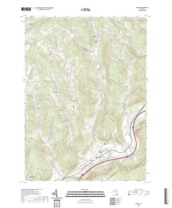
2023 Map of Otego
USGS Topo · Published 2023About this map
The Susquehanna River valley defines the southern boundary of this region, where the village of Otego serves as a primary hub for local transport and settlement. This 2023 survey illustrates a landscape deeply shaped by its many waterways, including the West Branch Otsdawa Creek and East Branch Otsdawa Creek, which converge as they flow toward the main river. The terrain is characterized by significant elevations such as Baker Hill and Calder Hill, which dictate the winding paths of rural routes like Co RD 6 and Co RD 8.
Find a feature on this map
84 named features on this map. Tap any name to fly to it.
Don’t see what you’re looking for? This feature index may not catch every label — zoom into the map to look around manually.
Map Details
Editions of this 2023 Otego Map
This is the sole edition of this map. No revisions or reprints were ever made.
Other maps of this area

1910 · Hartwick
USGS Topo · 1:62,500

1910 · New Berlin
USGS Topo · 1:62,500

1912 · New Berlin
USGS Topo · 1:62,500

1912 · Hartwick
USGS Topo · 1:62,500

1915 · Oneonta
USGS Topo · 1:62,500

1915 · Unadilla
USGS Topo · 1:62,500

1918 · Unadilla
USGS Topo · 1:62,500

1918 · Oneonta
USGS Topo · 1:62,500

1943 · Mt Vision
USGS Topo · 1:24,000

1943 · New Berlin South
USGS Topo · 1:24,000