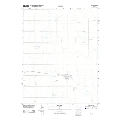
2009 Map of Otis
USGS Topo · Published 2009About this map
Otis serves as the central hub of this Rush County landscape, where the town's residential grid is organized along streets like 5th St, Ellen Ave, and Diel Ave. The surrounding terrain is defined by the winding paths of Eagle Creek and Blood Creek, which cut through a predominantly agricultural environment. This 2009 survey highlights the local community's heritage through the presence of established burial grounds, including the Lutheran Cemetery and the Seventh Day Adventist Cemetery, both located south and west of the town center. The map illustrates a highly organized rural road network, with numbered routes like NW 170 Rd and NW 130 Ave forming a systematic grid across the prairie. The proximity of Boot Creek to the eastern edge of the settlement suggests a landscape shaped by these intermittent watercourses that drain the Kansas plains.
Find a feature on this map
14 named features on this map. Tap any name to fly to it.
Don’t see what you’re looking for? This feature index may not catch every label — zoom into the map to look around manually.
Map Details
Editions of this 2009 Otis Map
This is the sole edition of this map. No revisions or reprints were ever made.
Other maps of this area

1889 · Larned
USGS Topo · 1:125,000

1891 · Great Bend
USGS Topo · 1:125,000

1891 · Larned
USGS Topo · 1:125,000

1893 · Great Bend
USGS Topo · 1:125,000

1896 · Russell
USGS Topo · 1:125,000

1896 · Hays
USGS Topo · 1:125,000

1955 · Great Bend
USGS Topo · 1:250,000

1957 · Great Bend
USGS Topo · 1:250,000

1958 · Great Bend
USGS Topo · 1:250,000
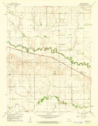
1960 · Heizer
USGS Topo · 1:24,000