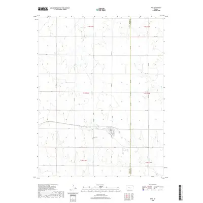
2018 Map of Otis
USGS Topo · Published 2018About this map
Otis sits as the primary settlement on this Central Kansas landscape, positioned along the border where Rush and Barton Counties meet. This survey captures a rural landscape defined by its agricultural grid, with long stretches of arterial roads like Ave L and CR 400 framing the section lines. The drainage patterns of the High Plains are clearly visible through the winding paths of Eagle Creek, Blood Creek, and Boot Creek, which cut through the otherwise orderly township divisions. Local history is anchored by the Lutheran Cemetery south of town, providing a specific point of interest for genealogical research in this sparsely populated region. The map reflects a modern era of land management, illustrating the persistent importance of the section-line road network in the 21st century.
Find a feature on this map
42 named features on this map. Tap any name to fly to it.
Don’t see what you’re looking for? This feature index may not catch every label — zoom into the map to look around manually.
Map Details
Editions of this 2018 Otis Map
This is the sole edition of this map. No revisions or reprints were ever made.
Other maps of this area
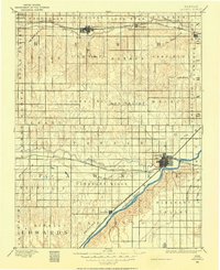
1889 · Larned
USGS Topo · 1:125,000
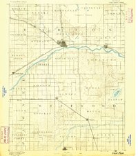
1891 · Great Bend
USGS Topo · 1:125,000
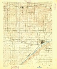
1891 · Larned
USGS Topo · 1:125,000
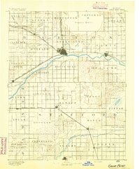
1893 · Great Bend
USGS Topo · 1:125,000
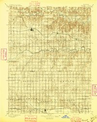
1896 · Russell
USGS Topo · 1:125,000
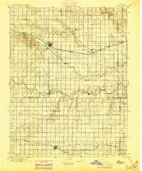
1896 · Hays
USGS Topo · 1:125,000

1955 · Great Bend
USGS Topo · 1:250,000

1957 · Great Bend
USGS Topo · 1:250,000

1958 · Great Bend
USGS Topo · 1:250,000
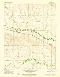
1960 · Heizer
USGS Topo · 1:24,000