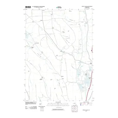
2010 Map of Otisco Valley
USGS Topo · Published 2010About this map
Otisco Lake and the long, glacial troughs of Otisco Valley and Tully Valley define the character of this Onondaga County landscape. The region is marked by a series of deep ravines known as gulfs, including Rattlesnake Gulf and Emerson Gulf, where numerous streams like Onondaga Creek and Spafford Creek have carved into the plateau. Small crossroads settlements such as Vesper, Bromley, and South Spafford are scattered throughout, often anchored by local burying grounds like Vesper Cemetery or Hillsdale Cemetery.
Find a feature on this map
93 named features on this map. Tap any name to fly to it.
Don’t see what you’re looking for? This feature index may not catch every label — zoom into the map to look around manually.
Map Details
Editions of this 2010 Otisco Valley Map
This is the sole edition of this map. No revisions or reprints were ever made.
Other maps of this area

1898 · Moravia
USGS Topo · 1:62,500

1899 · Skaneateles
USGS Topo · 1:62,500

1900 · Tully
USGS Topo · 1:62,500

1902 · Skaneateles
USGS Topo · 1:62,500

1902 · Moravia
USGS Topo · 1:62,500

1903 · Cortland
USGS Topo · 1:62,500

1943 · South Onondaga
USGS Topo · 1:31,680

1943 · Spafford
USGS Topo · 1:31,680

1943 · Jamesville
USGS Topo · 1:31,680

1943 · Otisco Valley
USGS Topo · 1:31,680