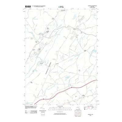
2010 Map of Otisville
USGS Topo · Published 2010About this map
The Shawangunk Mountains anchor the central portion of this area, creating a natural divide between the river valleys. To the west, the Neversink River flows past the settlements of Cuddebackville and Godeffroy, where the Heritage Trl traces the path of previous transportation corridors. The village of Otisville serves as a local hub on the eastern side of the ridge, surrounded by community landmarks like the Otisville Country Fair and Mount Hope Cemetery.
Find a feature on this map
88 named features on this map. Tap any name to fly to it.
Don’t see what you’re looking for? This feature index may not catch every label — zoom into the map to look around manually.
Map Details
Editions of this 2010 Otisville Map
This is the sole edition of this map. No revisions or reprints were ever made.
Other maps of this area

1904 · Ellenville
USGS Topo · 1:62,500

1906 · Ellenville
USGS Topo · 1:62,500

1906 · Port Jervis
USGS Topo · 1:62,500

1906 · Goshen
USGS Topo · 1:62,500

1908 · Goshen
USGS Topo · 1:62,500

1908 · Port Jervis
USGS Topo · 1:62,500

1909 · Monticello
USGS Topo · 1:62,500

1911 · Monticello
USGS Topo · 1:62,500

1938 · Goshen
USGS Topo · 1:62,500

1942 · Pine Island
USGS Topo · 1:24,000