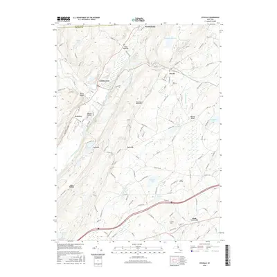
2016 Map of Otisville
USGS Topo · Published 2016About this map
The Shawangunk Mountains dominate this region of Orange County, where the transition from high ridgelines to fertile valleys defines the local settlement patterns. Small communities like Cuddebackville and Godeffroy are situated along the Neversink River and Basher Kill, reflecting the historical importance of these waterways for travel and early industry. To the east, the village of Otisville serves as a primary hub, featuring the Mount Hope Cem and connections to the surrounding rural hamlets of Finchville and Mount Hope. The presence of Guymard Lake and Lake Helen highlights the numerous natural basins found throughout the terrain. In the southern portion of the map, the landscape shifts toward the drainage of Rutgers Cr near South Centerville, providing a detailed view of the road networks connecting these long-standing Hudson Valley settlements.
Find a feature on this map
126 named features on this map. Tap any name to fly to it.
Don’t see what you’re looking for? This feature index may not catch every label — zoom into the map to look around manually.
Map Details
Editions of this 2016 Otisville Map
This is the sole edition of this map. No revisions or reprints were ever made.
Other maps of this area

1904 · Ellenville
USGS Topo · 1:62,500

1906 · Ellenville
USGS Topo · 1:62,500

1906 · Port Jervis
USGS Topo · 1:62,500

1906 · Goshen
USGS Topo · 1:62,500

1908 · Goshen
USGS Topo · 1:62,500

1908 · Port Jervis
USGS Topo · 1:62,500

1909 · Monticello
USGS Topo · 1:62,500

1911 · Monticello
USGS Topo · 1:62,500

1938 · Goshen
USGS Topo · 1:62,500

1942 · Pine Island
USGS Topo · 1:24,000