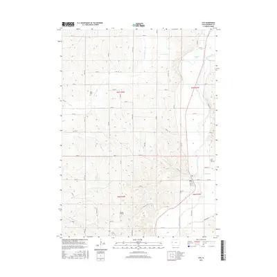
2015 Map of Oto
USGS Topo · Published 2015About this map
Oto sits at the eastern edge of Woodbury County, nestled where several small tributaries like Fern Cr and Miller Cr meet the meandering Little Sioux River. This 2015 survey reveals a landscape deeply influenced by its watercourses, featuring oxbows like Horseshoe Lake and the significant elevation changes of Smoky Hollow in the southwestern quadrant. The town is flanked by historic burial grounds, including the Oto Cem and Saint Mary's Cem, while the northern hills are home to the Peiro Bethel Cem. The map illustrates a dense network of gravel and paved roads, including the bypassed Old Hwy 141, showing the evolution of local travel across the Loess Hills region. Various named creeks, such as E Fork Wolf Cr and Lum Hollow Cr, carve through the agricultural sections, defining the drainage patterns of this rural Iowa township.
Find a feature on this map
47 named features on this map. Tap any name to fly to it.
Don’t see what you’re looking for? This feature index may not catch every label — zoom into the map to look around manually.
Map Details
Editions of this 2015 Oto Map
This is the sole edition of this map. No revisions or reprints were ever made.
Other maps of this area

1954 · Fort Dodge
USGS Topo · 1:250,000

1955 · Sioux City
USGS Topo · 1:250,000

1957 · Fort Dodge
USGS Topo · 1:250,000

1958 · Sioux City
USGS Topo · 1:250,000

1958 · Fort Dodge
USGS Topo · 1:250,000

1959 · Sioux City
USGS Topo · 1:250,000

1964 · Climbing Hill
USGS Topo · 1:24,000

1964 · Moville
USGS Topo · 1:24,000

1969 · Mapleton
USGS Topo · 1:24,000

1969 · Correctionville NW
USGS Topo · 1:24,000