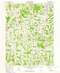
1962 Map of Otsego
USGS Topo · Published 1963About this map
The Wills Creek Reservoir defines the northeastern corner of this Muskingum County landscape, where the waters meet the community of Otsego. The area is characterized by its rural infrastructure, featuring a significant network of active Oil Wells and a major Pipeline cutting across the central townships. The map documents a deeply rooted social geography, anchored by several country churches including Fairview Ch, New Hope Ch, and Salem Ch, alongside a Grange Hall and a Townhall. Drainage patterns follow the winding paths of White Eyes Creek, Salt Creek, and Symmes Creek, carving through the varied terrain marked by elevations like Drummond Knob. This survey captures the transition of the mid-20th century, where traditional township life in Adams and Salem townships exists alongside industrial resource extraction.
Find a feature on this map
26 named features on this map. Tap any name to fly to it.
Don’t see what you’re looking for? This feature index may not catch every label — zoom into the map to look around manually.
Map Details
Editions of this 1962 Otsego Map
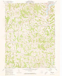
2 editions found
Other maps of this area

1908 · Conesville
USGS Topo · 1:62,500

1909 · Cambridge
USGS Topo · 1:62,500

1910 · Philo
USGS Topo · 1:62,500

1910 · Conesville
USGS Topo · 1:62,500

1911 · Cumberland
USGS Topo · 1:62,500

1912 · Cambridge
USGS Topo · 1:62,500

1949 · Clarksburg
USGS Topo · 1:250,000

1951 · Canton
USGS Topo · 1:250,000

1953 · Canton
USGS Topo · 1:250,000

1956 · Clarksburg
USGS Topo · 1:250,000