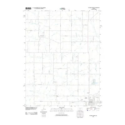
2009 Map of Ottawa North
USGS Topo · Published 2009About this map
Centropolis and the northern outskirts of Ottawa anchor this rural Kansas landscape, where a dense network of sectional roads and watercourses defines the agricultural character of Franklin County. The topography is shaped by the convergence of several drainages, most notably Eightmile Creek and its many tributaries like Minneola Creek and Cole Creek. To the east, the West Fork Tauy Creek winds through the fields, while the southern portion of the map transitions into the industrial and transit hubs of Ottawa Junction and Lawrence Junction. This 2009 survey reveals the persistent imprint of early settlement patterns through features like Mount Evergreen Cemetery and numerous family-named roads, including Thomas Rd, Riley Rd, and Pawnee Rd, which follow the rigid grid of the American heartland.
Find a feature on this map
47 named features on this map. Tap any name to fly to it.
Don’t see what you’re looking for? This feature index may not catch every label — zoom into the map to look around manually.
Map Details
Editions of this 2009 Ottawa North Map
This is the sole edition of this map. No revisions or reprints were ever made.
Other maps of this area

1885 · Lawrence
USGS Topo · 1:125,000

1889 · Lawrence
USGS Topo · 1:125,000

1947 · Lawrence
USGS Topo · 1:250,000

1950 · Lawrence
USGS Topo · 1:250,000

1955 · Globe
USGS Topo · 1:24,000

1956 · Pomona
USGS Topo · 1:24,000

1956 · Ottawa North
USGS Topo · 1:24,000

1956 · Le Loup
USGS Topo · 1:24,000

1956 · Ottawa South
USGS Topo · 1:24,000

1956 · Lawrence
USGS Topo · 1:250,000