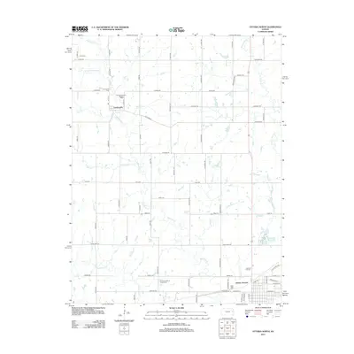
2012 Map of Ottawa North
USGS Topo · Published 2012About this map
Centropolis sits at the intersection of Indiana Rd and Thomas Rd, serving as a central hub for the rural landscape of Franklin County. This area is defined by a dense network of tributaries including Eightmile Cr, Minneola Cr, and Appanoose Cr, which carve through the farmland north of Ottawa. The map reveals a high concentration of historic burial sites, such as Union Cem, Centropolis Cem, and the uniquely named Evergreen Mound Baxter Cem, providing valuable data for genealogical research.
Find a feature on this map
59 named features on this map. Tap any name to fly to it.
Don’t see what you’re looking for? This feature index may not catch every label — zoom into the map to look around manually.
Map Details
Editions of this 2012 Ottawa North Map
This is the sole edition of this map. No revisions or reprints were ever made.
Other maps of this area

1885 · Lawrence
USGS Topo · 1:125,000

1889 · Lawrence
USGS Topo · 1:125,000

1947 · Lawrence
USGS Topo · 1:250,000

1950 · Lawrence
USGS Topo · 1:250,000

1955 · Globe
USGS Topo · 1:24,000

1956 · Pomona
USGS Topo · 1:24,000

1956 · Ottawa North
USGS Topo · 1:24,000

1956 · Le Loup
USGS Topo · 1:24,000

1956 · Ottawa South
USGS Topo · 1:24,000

1956 · Lawrence
USGS Topo · 1:250,000