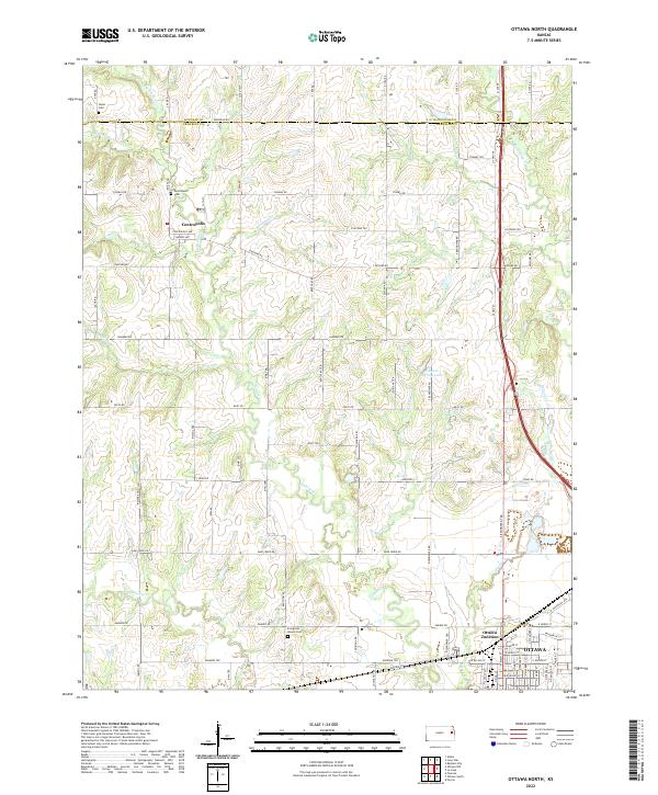
2022 Map of Ottawa North
USGS Topo · Published 2022About this map
The rolling prairies of northern Franklin County and southern Douglas County are defined by a complex network of tributaries leading toward the Marais des Cygnes valley. The small settlement of Centropolis serves as a historic focal point in the northwest, situated near the headwaters of Eightmile Creek and Cole Creek. This area maintains a predominantly rural character, where early crossroads communities and local landmarks are preserved through features like Union Cemetery and Centropolis Cemetery. To the south, the northern reaches of Ottawa emerge, centered around the rail-oriented Ottawa Junction. The landscape is etched with various family-named and local watercourses, including Appanoose Creek and Sand Creek, while Natural Springs Lake offers a distinct hydrologic feature amidst the agricultural sections. The map traces the early development of the local road system, from established routes like Us HWY 59 to localized tracks like Evergreen Mound Cemetery road.
Find a feature on this map
81 named features on this map. Tap any name to fly to it.
Don’t see what you’re looking for? This feature index may not catch every label — zoom into the map to look around manually.
Map Details
Editions of this 2022 Ottawa North Map
This is the sole edition of this map. No revisions or reprints were ever made.
Other maps of this area

1885 · Lawrence
USGS Topo · 1:125,000

1889 · Lawrence
USGS Topo · 1:125,000

1947 · Lawrence
USGS Topo · 1:250,000

1950 · Lawrence
USGS Topo · 1:250,000

1955 · Globe
USGS Topo · 1:24,000

1956 · Pomona
USGS Topo · 1:24,000

1956 · Ottawa North
USGS Topo · 1:24,000

1956 · Le Loup
USGS Topo · 1:24,000

1956 · Ottawa South
USGS Topo · 1:24,000

1956 · Lawrence
USGS Topo · 1:250,000